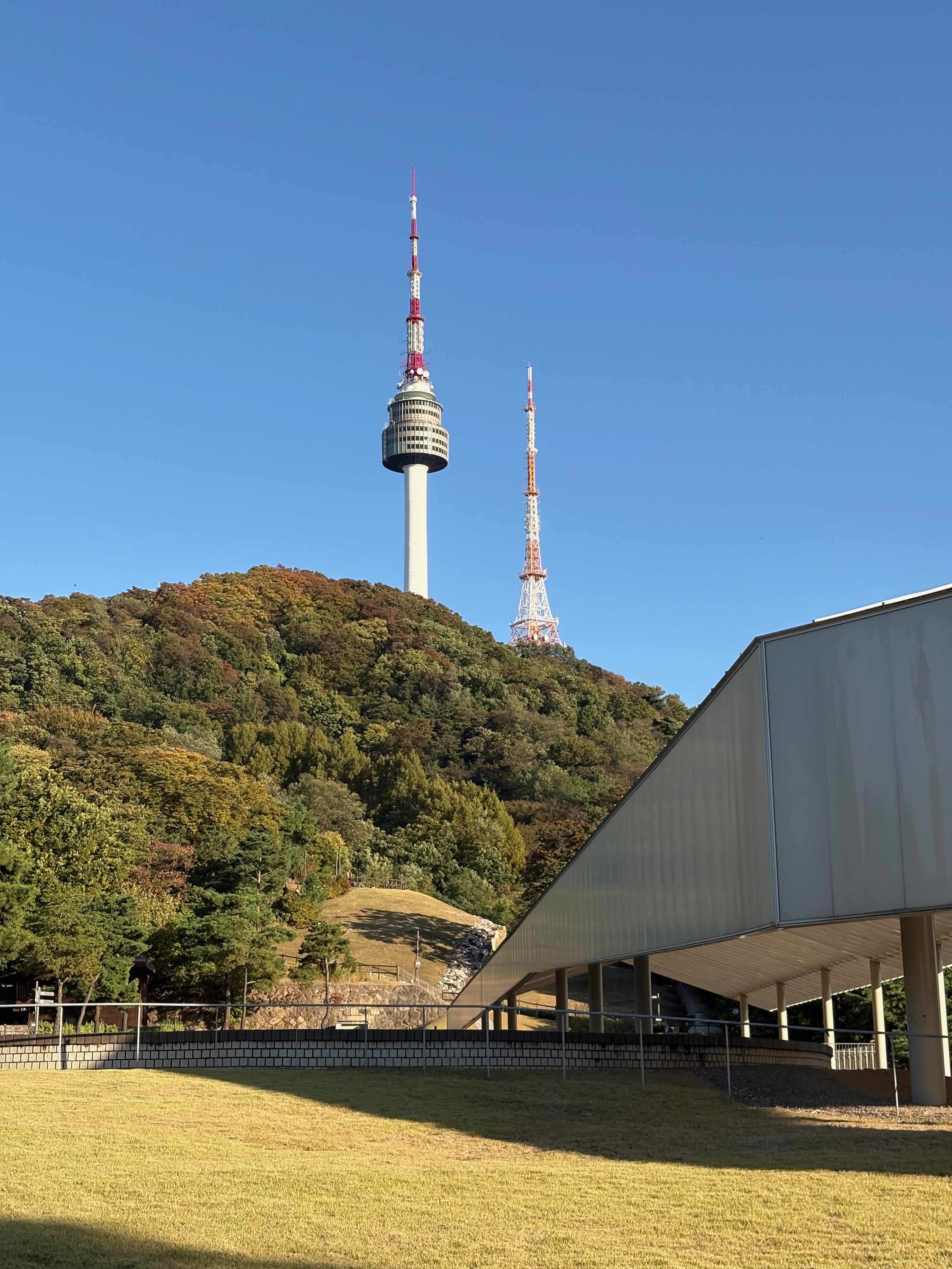
I’ve mostly been exploring neighborhoods lately, so this time I decided to head up a mountain and see whether the autumn leaves have started changing color.
Of all the mountains in Seoul, Namsan is probably the most famous. It’s not particularly high, making it a great place for a leisurely walk.
You can get up the mountain by bus, cable car, or bicycle. (Riding a bicycle downhill looks like a lot of fun.)
Namsan is divided between two districts, with the northern half above the summit belonging to Jung-gu and the southern half below it belonging to Yongsan-gu.
Walking route: Seoul Station Exit 8 -> Baekbeom Square Park -> Namsan Northern Circular Trail -> Namsangol Hanok Village -> Korean Forest Garden (Namsan Outdoor Botanical Garden) -> Namsan Southern Circular Trail -> Namsan Summit -> Sky Forest Trail -> Hanyangdoseong Historic Site Museum
Today, I plan to start at Namsan Park, walk around the mountain, and make my way back.
Baekbeom Square Park
My walk around Namsan begins at Exit 8 of Seoul Station.
From Danggok Station, I take the Sillim Line toward Saetgang Station and get off at Daebang Station. From there, I transfer to Line 1 and head to Seoul Station.
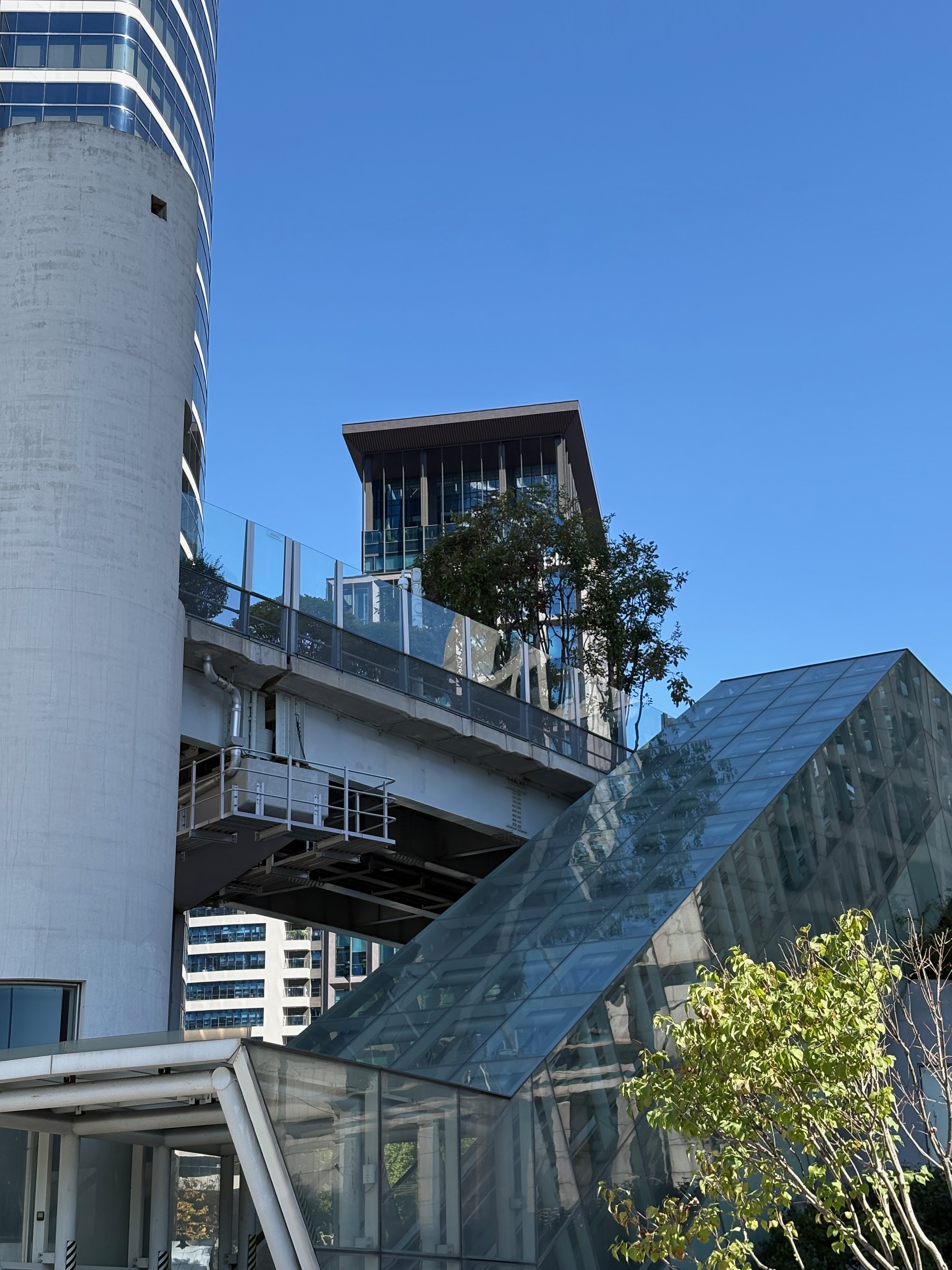
After exiting through Exit 8, I cross the road to the right and take the escalator up to Seoul Station 7017.
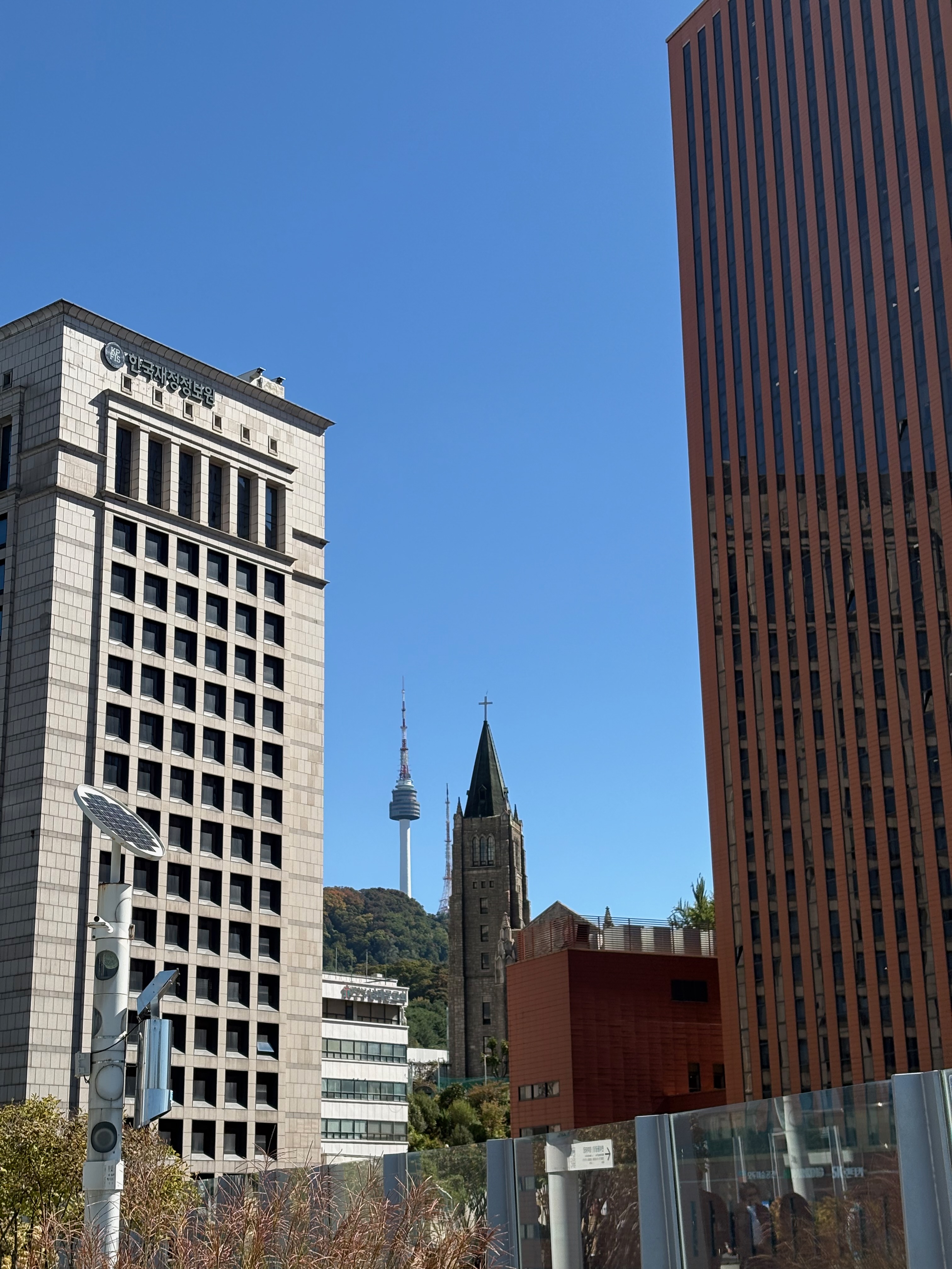
From Seoul Station 7017, I can see N Seoul Tower, where I’m heading today.
I can also see Namdaemun Presbyterian Church, which I tried to visit last month but never got around to.
At the end of Seoul Station 7017, I take an elevator down to Namsan Overpass.
I cross the overpass and head toward Namsan Park.
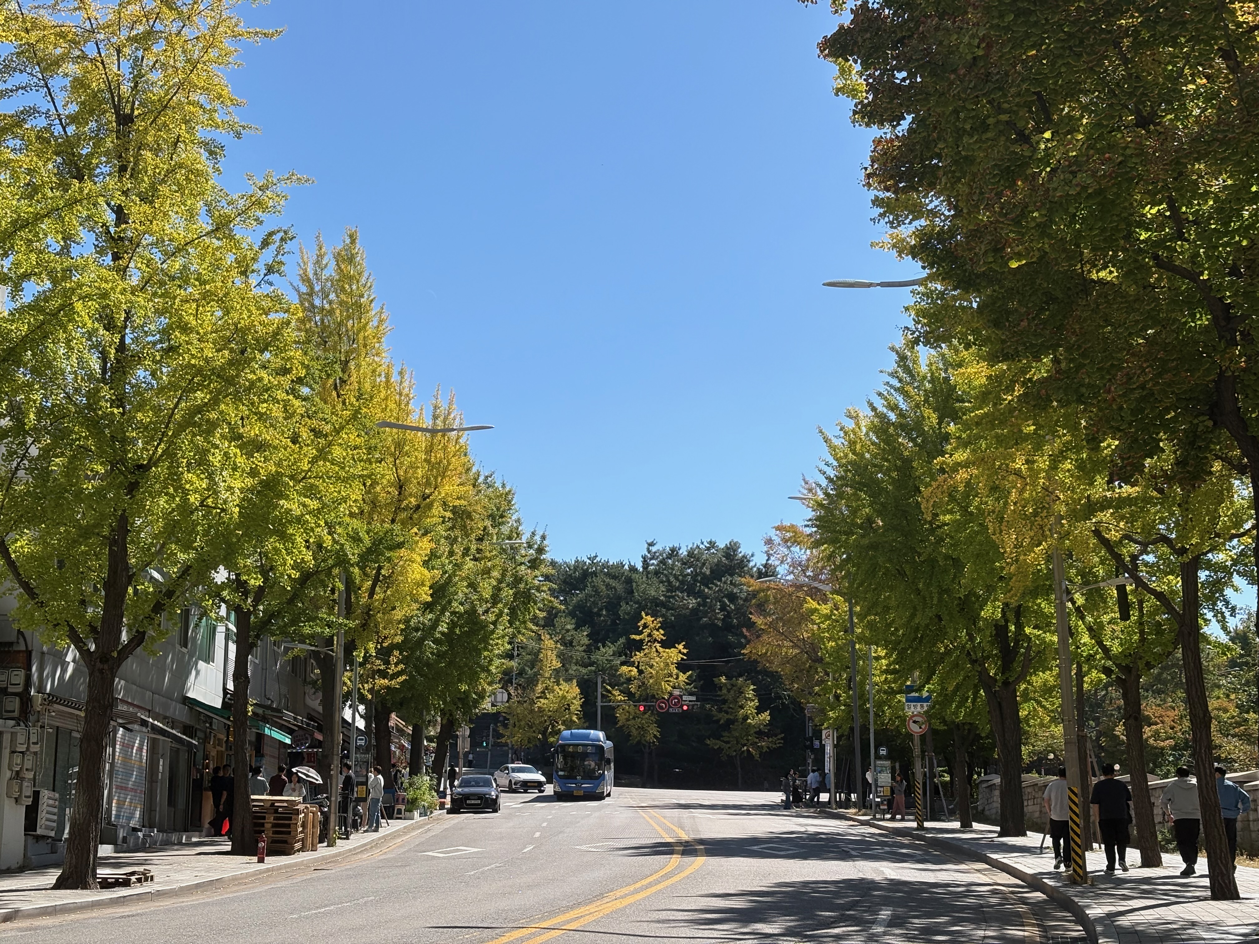
I notice that the green leaves on the trees are gradually turning yellow.
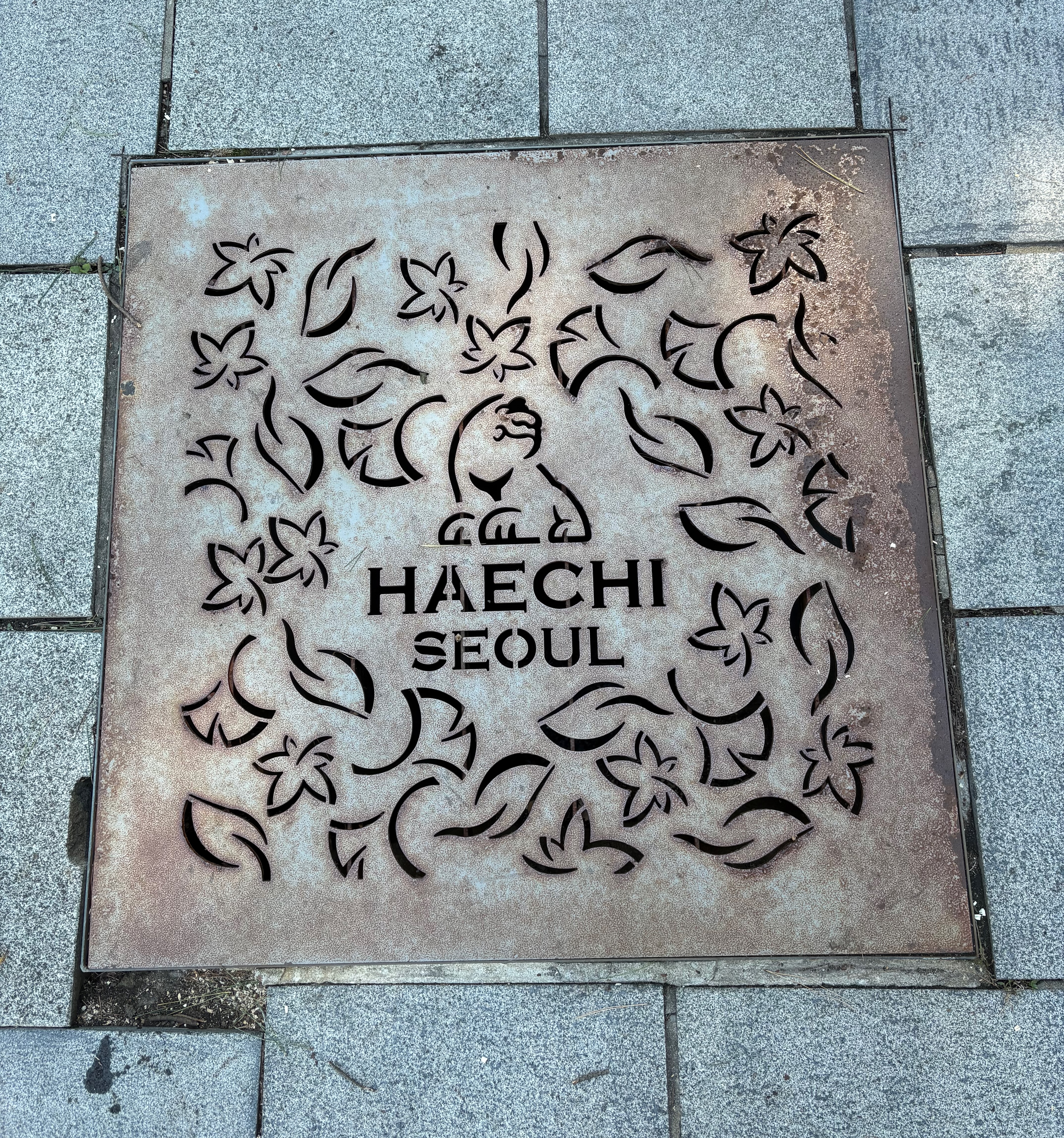
At the entrance to Namsan Park, there’s a beautifully designed drain cover featuring Haechi.
Haechi is another name for Haetae, a mythical guardian creature, and is also the mascot of Seoul.
Walking up the hill brings me to Baekbeom Square Park.
In addition to a statue of Kim Gu, there are statues of General Kim Yu-sin and Yi Si-yeong.
The weather is clear, and a cool breeze is blowing, so lots of people have come to the park for a picnic.
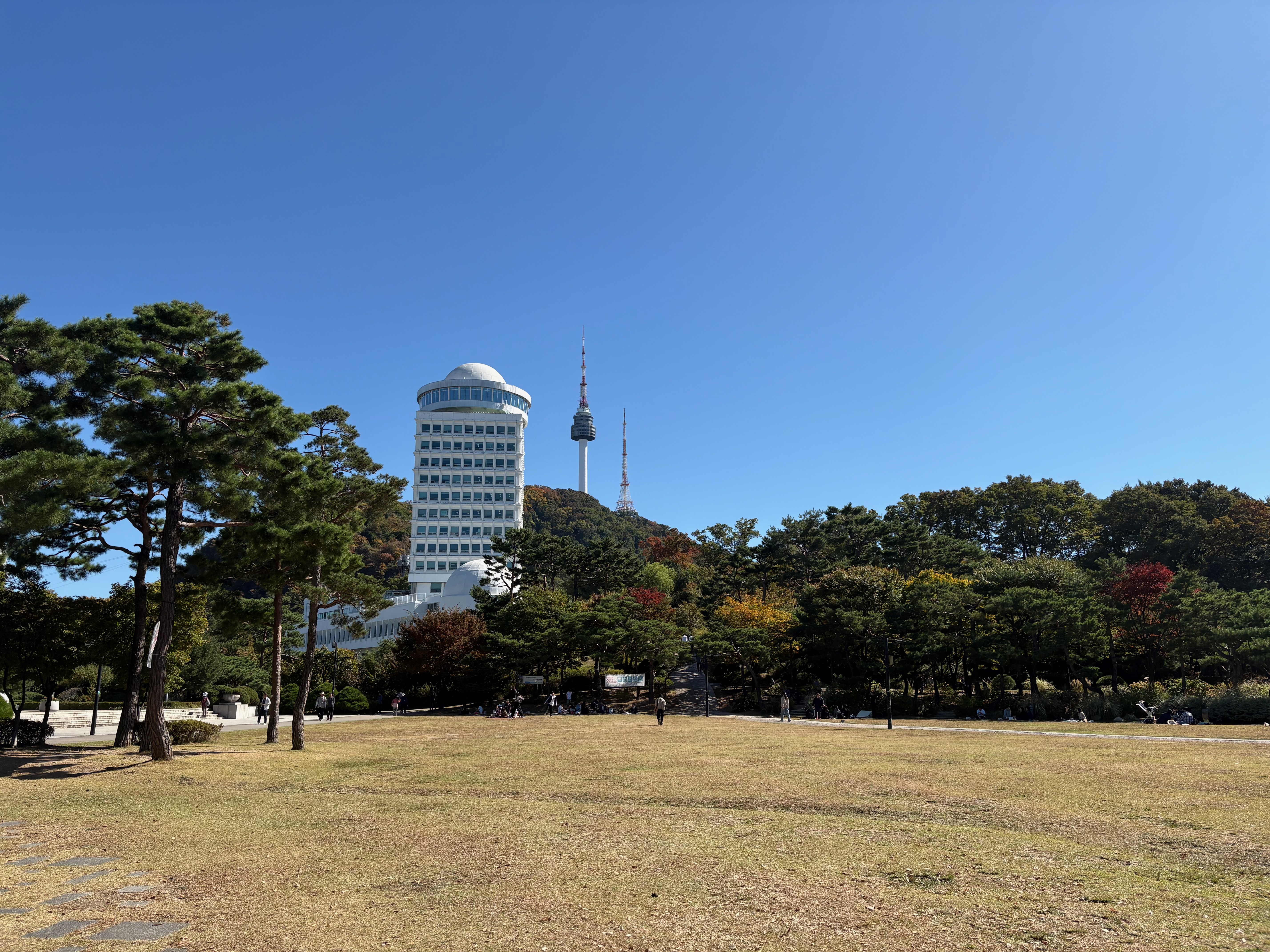
Behind the square, near the white building, is the An Jung-geun Memorial Hall.
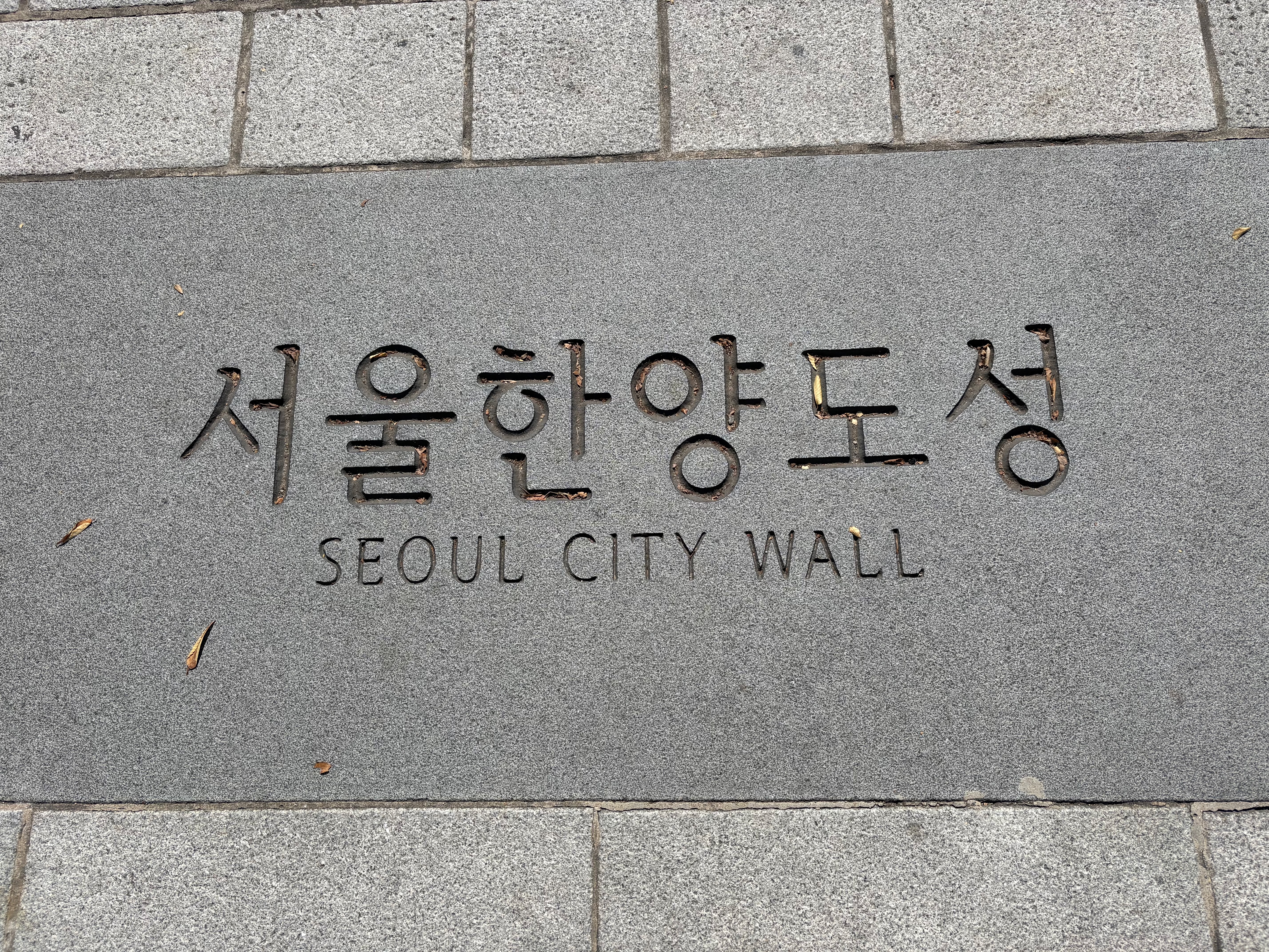
Looking down at the path, I notice paving blocks engraved with the words “Seoul Hanyangdoseong.”
There’s also a hiking route along the Hanyangdoseong City Wall, which I’d like to try someday.
Past the An Jung-geun Memorial Hall, I come across the Hanyangdoseong Historic Site Museum and the Samsuni Stairs.
I follow the signs toward the Northern Circular Trail.
There’s also a route that takes you straight to Namsan without passing the historic site museum.
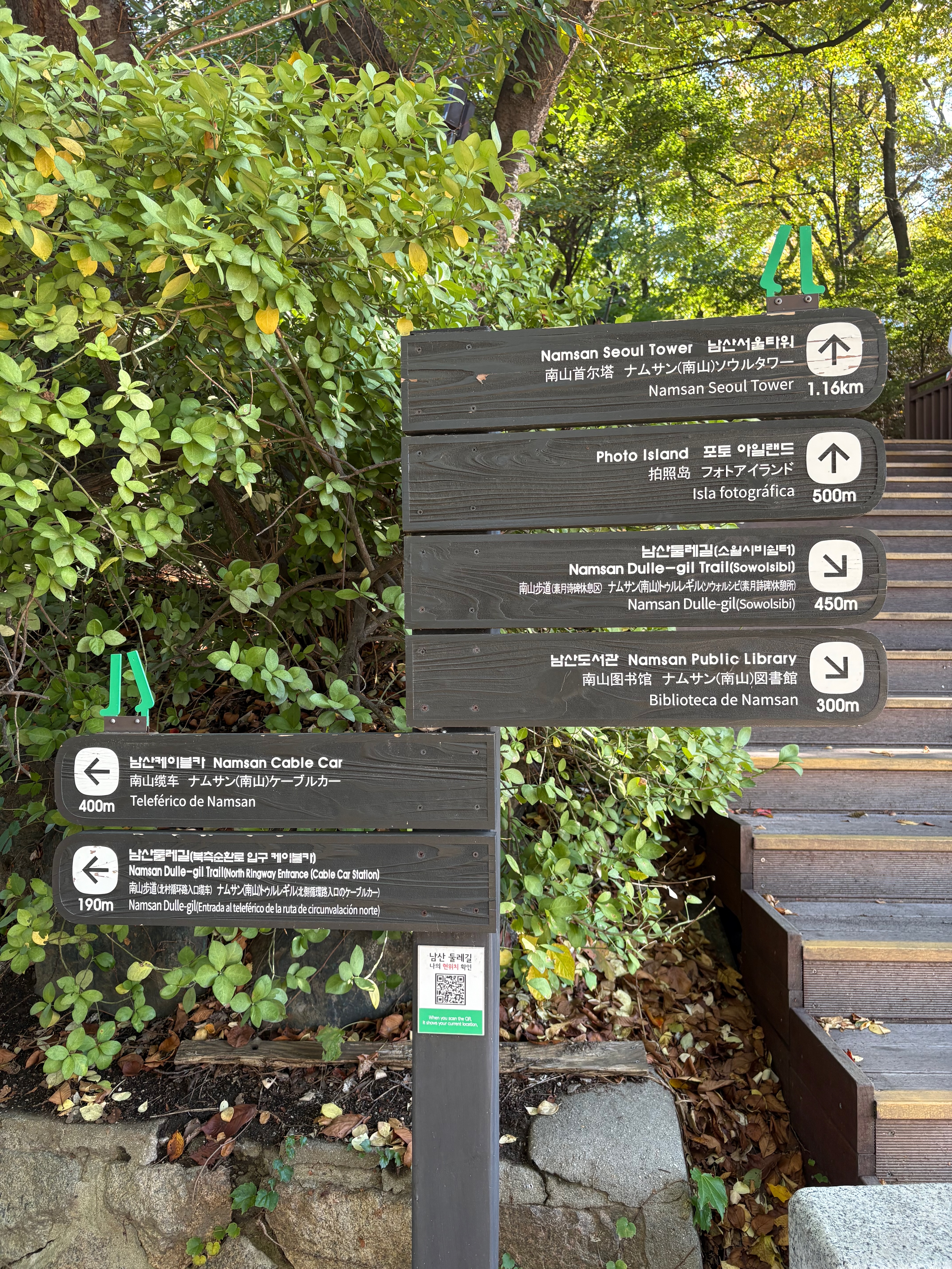
I walk down the stairs and path beside a small outdoor workout area and arrive at the Namsan Northern Circular Trail.
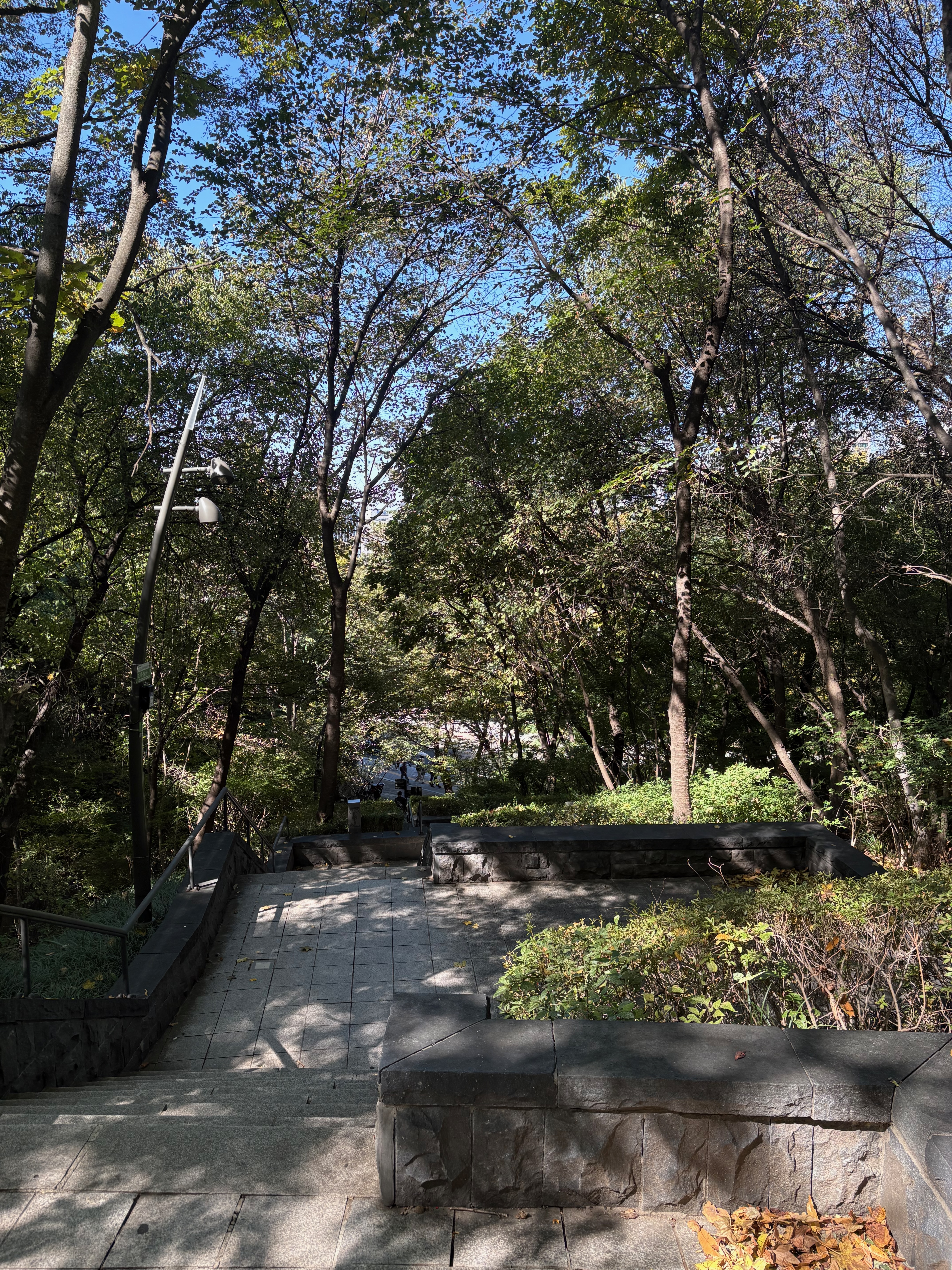
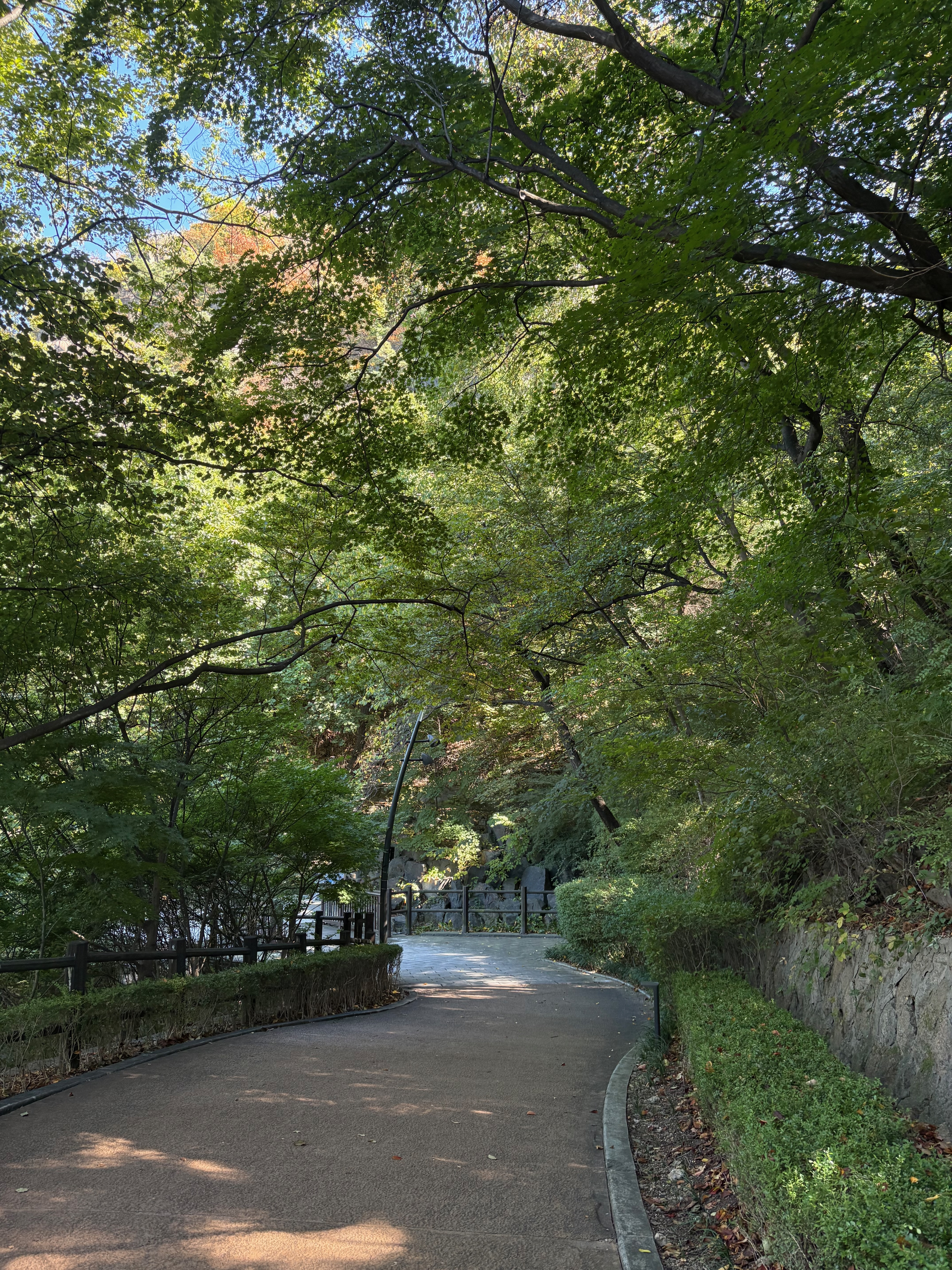
The Northern Circular Trail
At the entrance to the Northern Circular Trail, there’s an information board showing my current location and the route.
Now it’s time to properly explore the northern side of Namsan on foot.
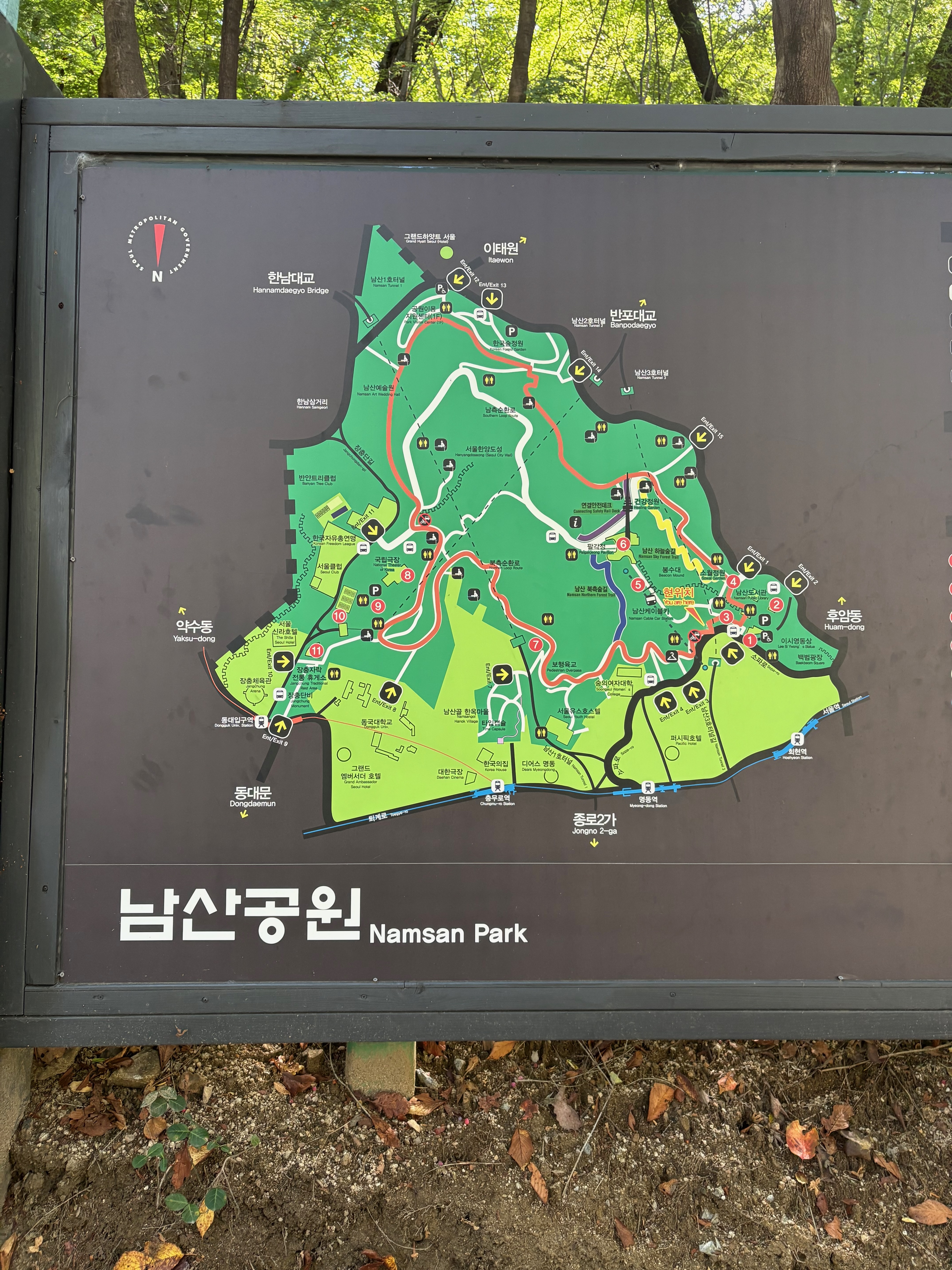
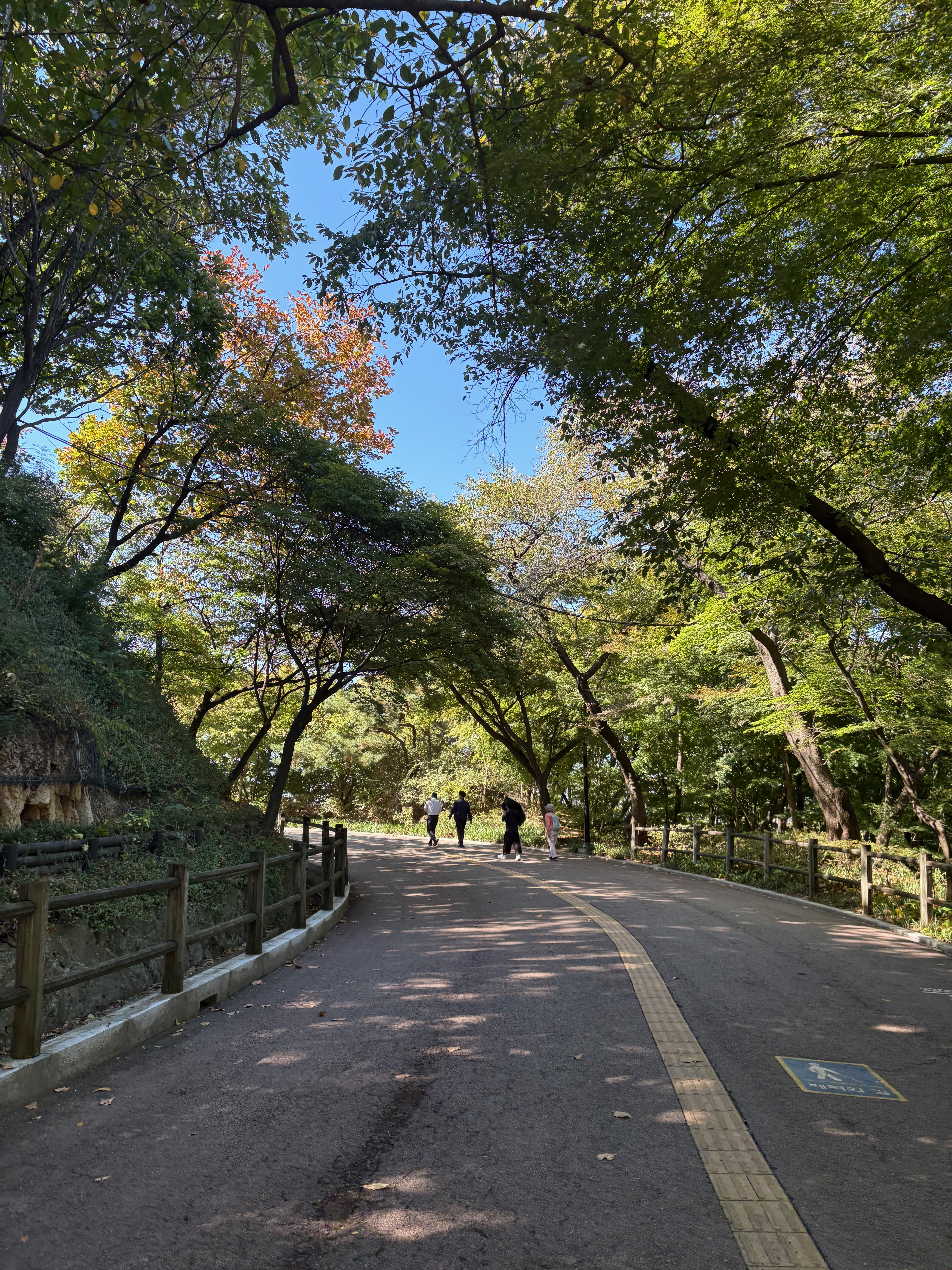
No bicycles or buses travel along the Northern Circular Trail, so it’s easy to walk without worrying about traffic.
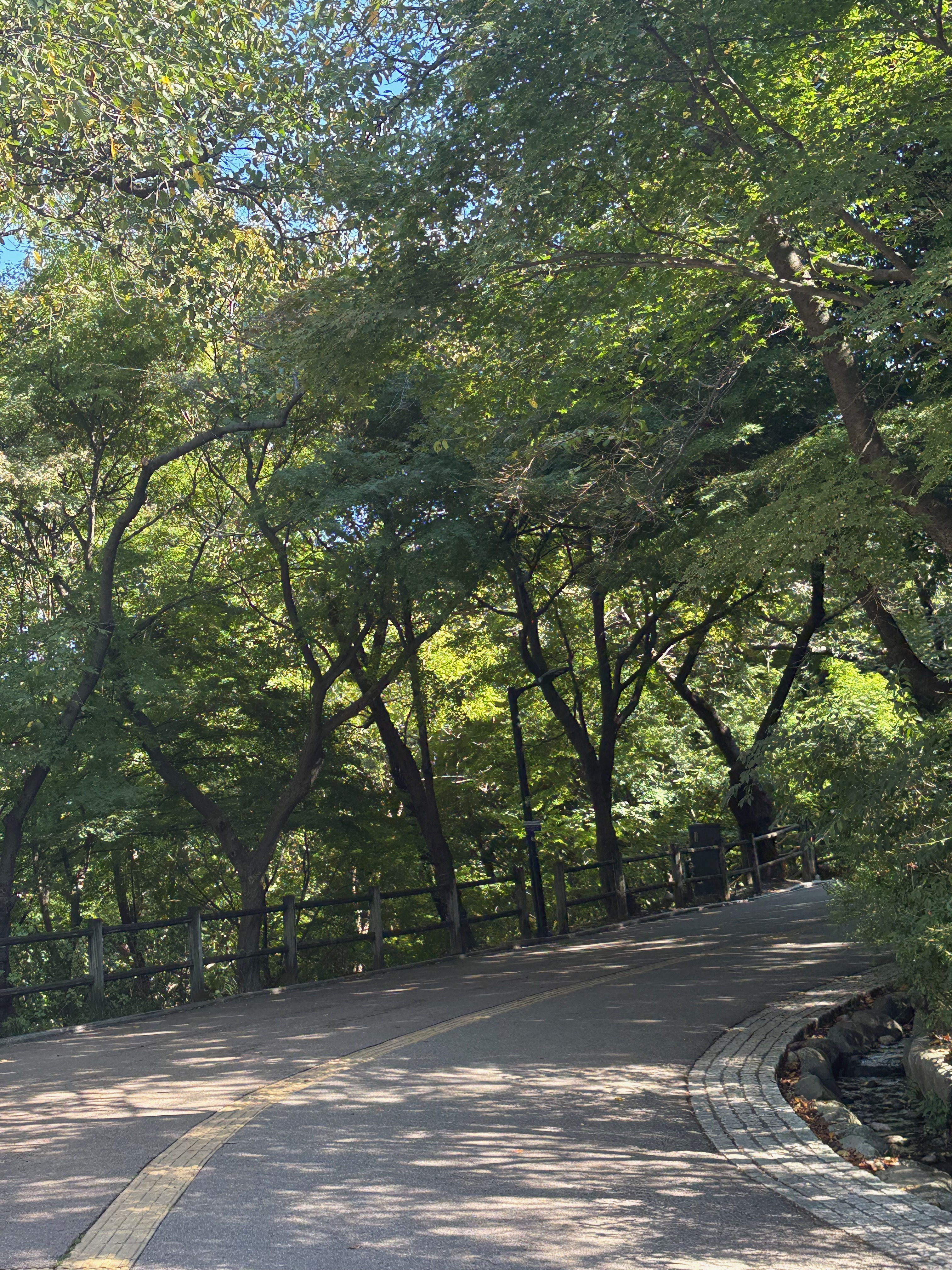
The wide asphalt path stretches out ahead, so I don’t have to dodge other people or worry about getting my shoes dirty.
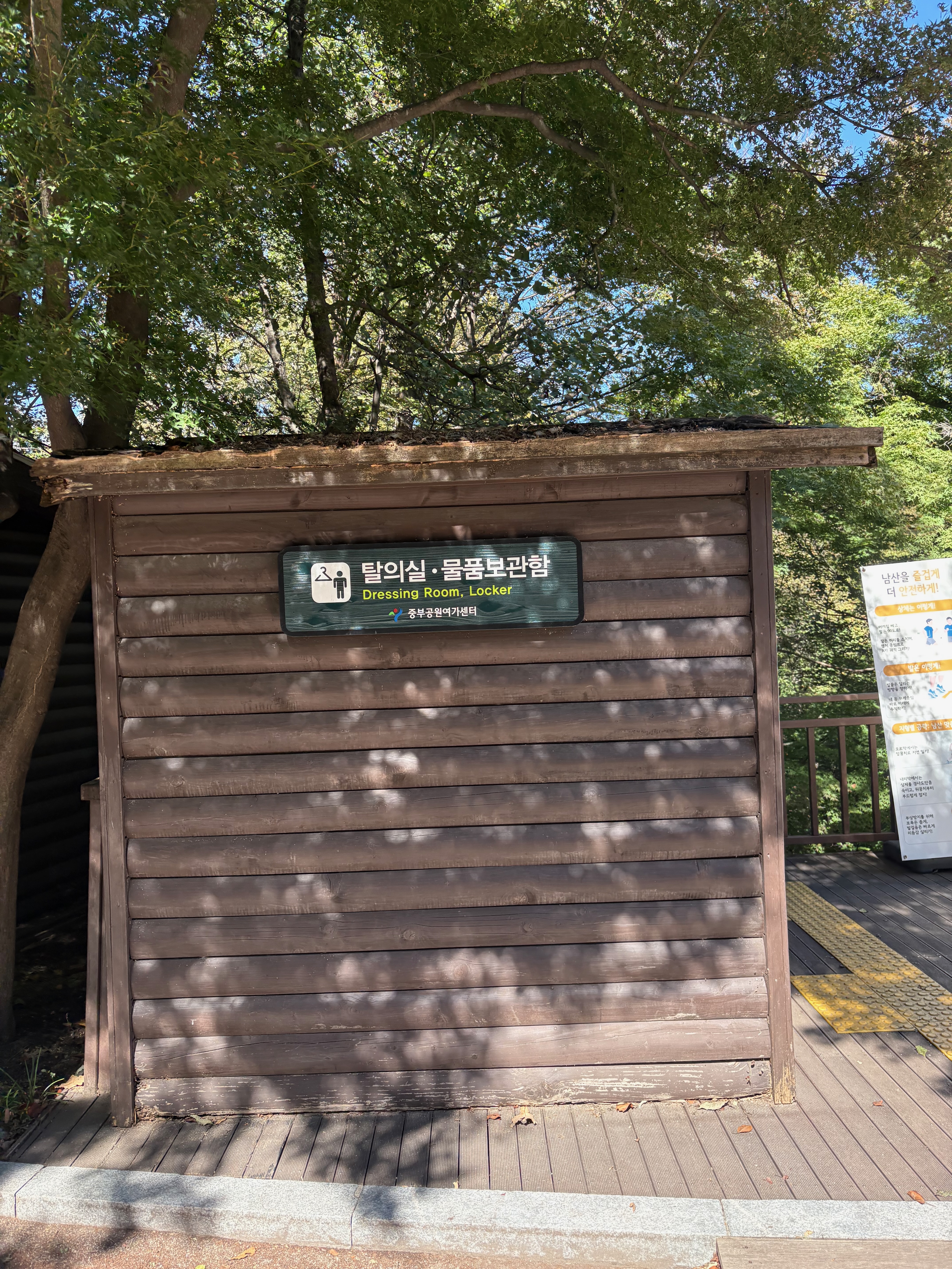
There’s even a changing room for runners.
As I walk, I occasionally come across facilities for people who run here.
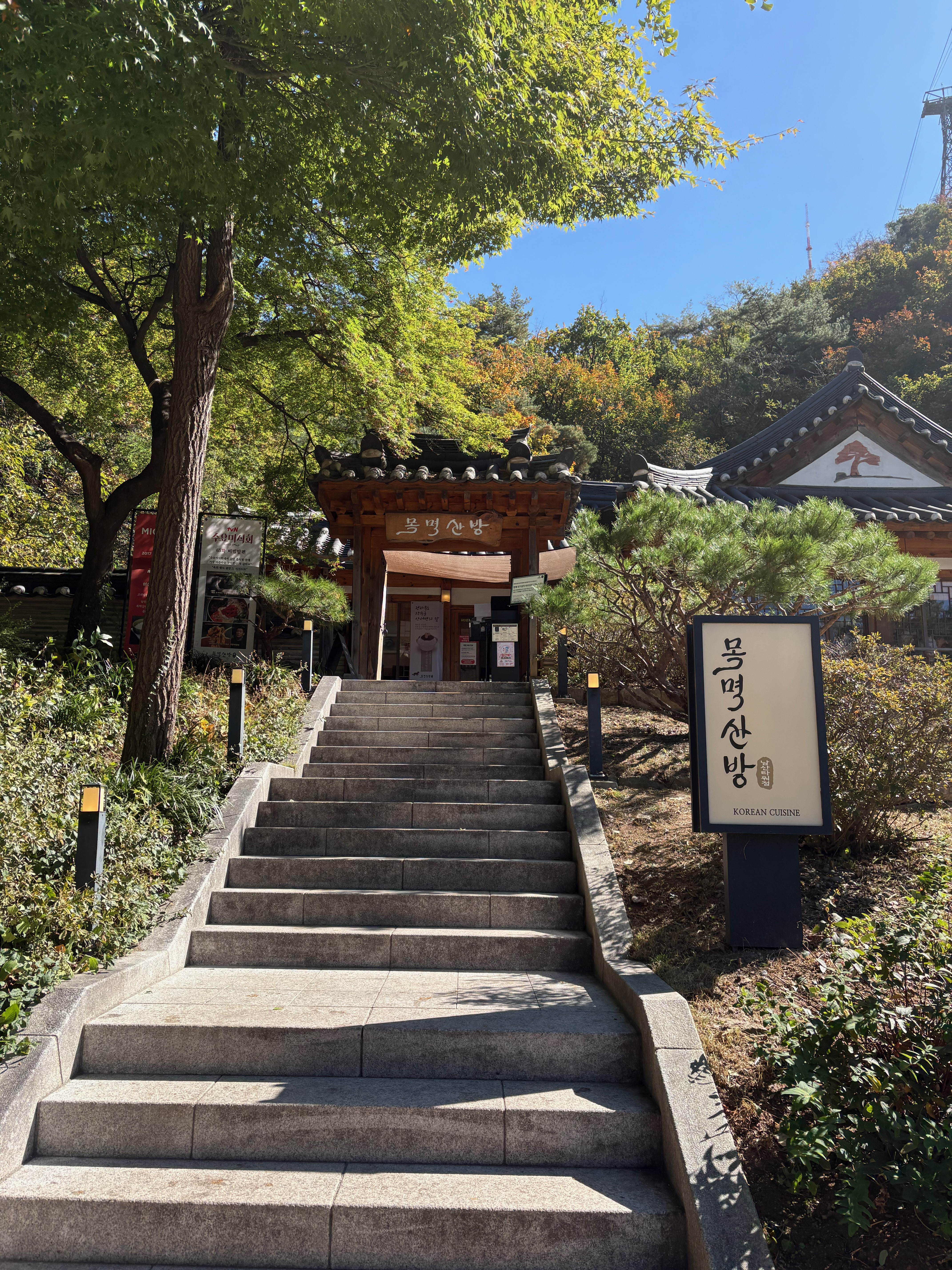
There’s a restaurant called Mokmyeoksanbang.
Mokmyeoksan is another name for Namsan.
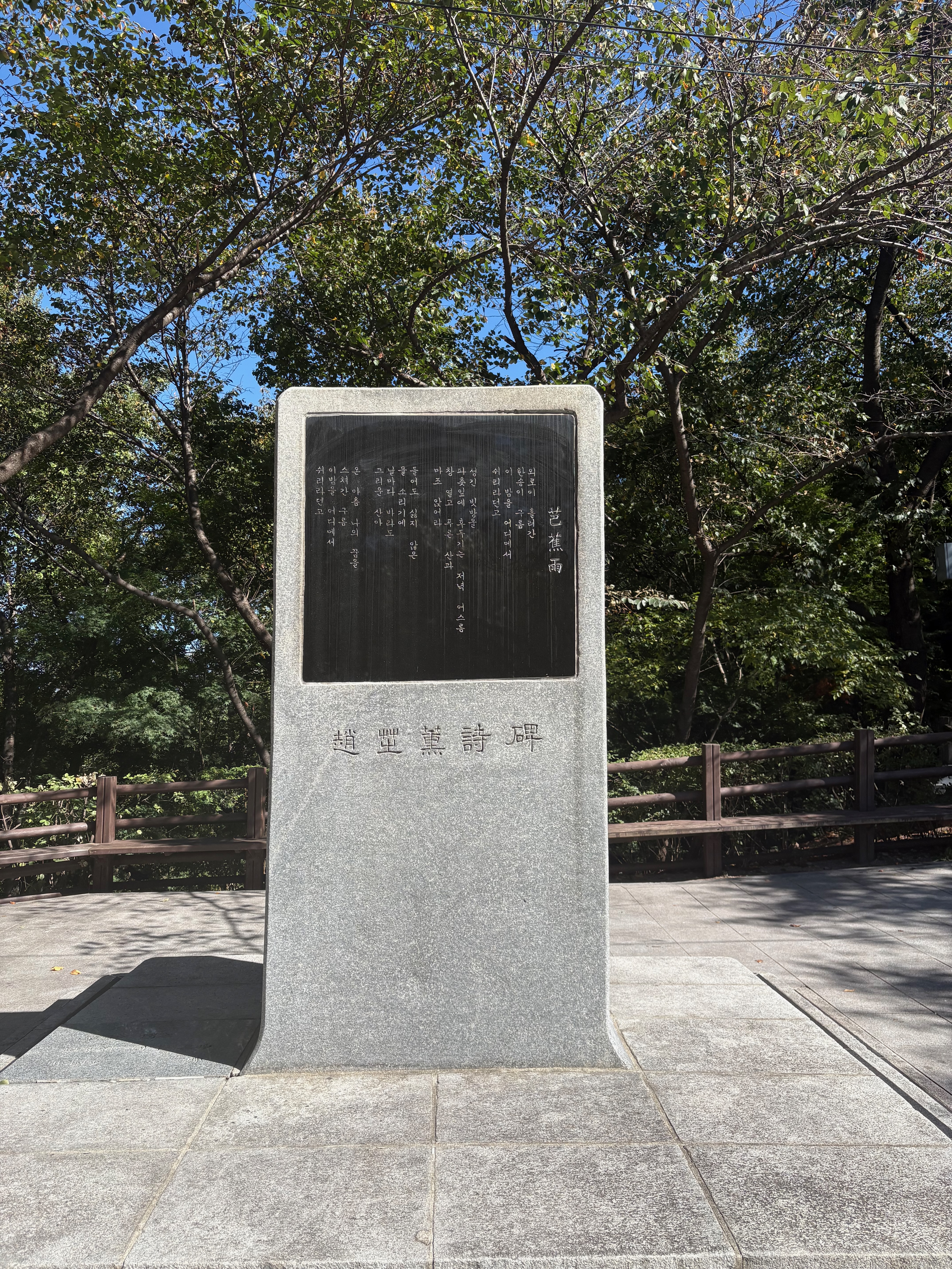
Near Mokmyeoksanbang, there’s a stone monument engraved with a poem by the poet Jo Ji-hun.
The poem is titled Pajuchu, which refers to raindrops falling onto the leaves of a banana plant.
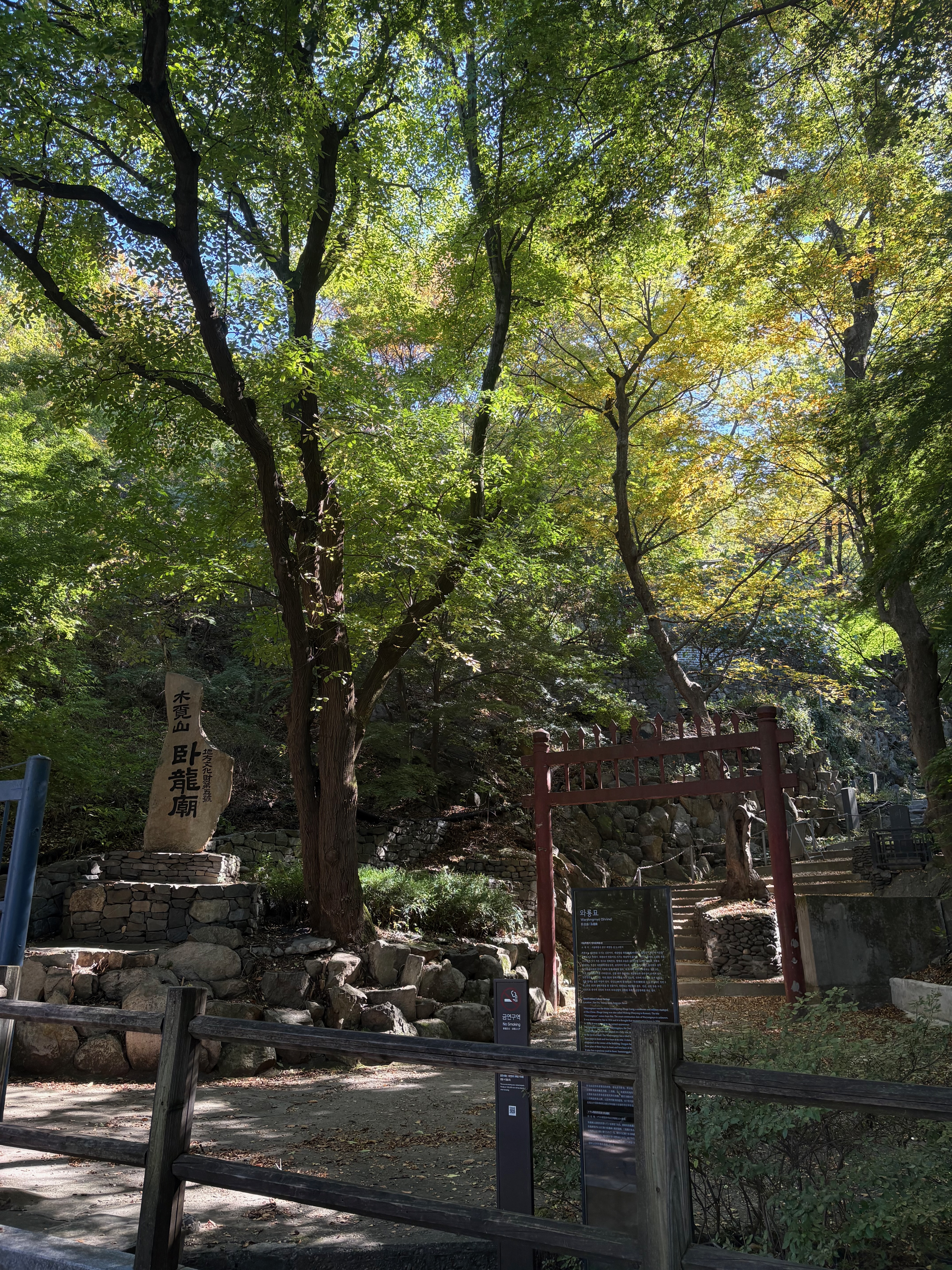
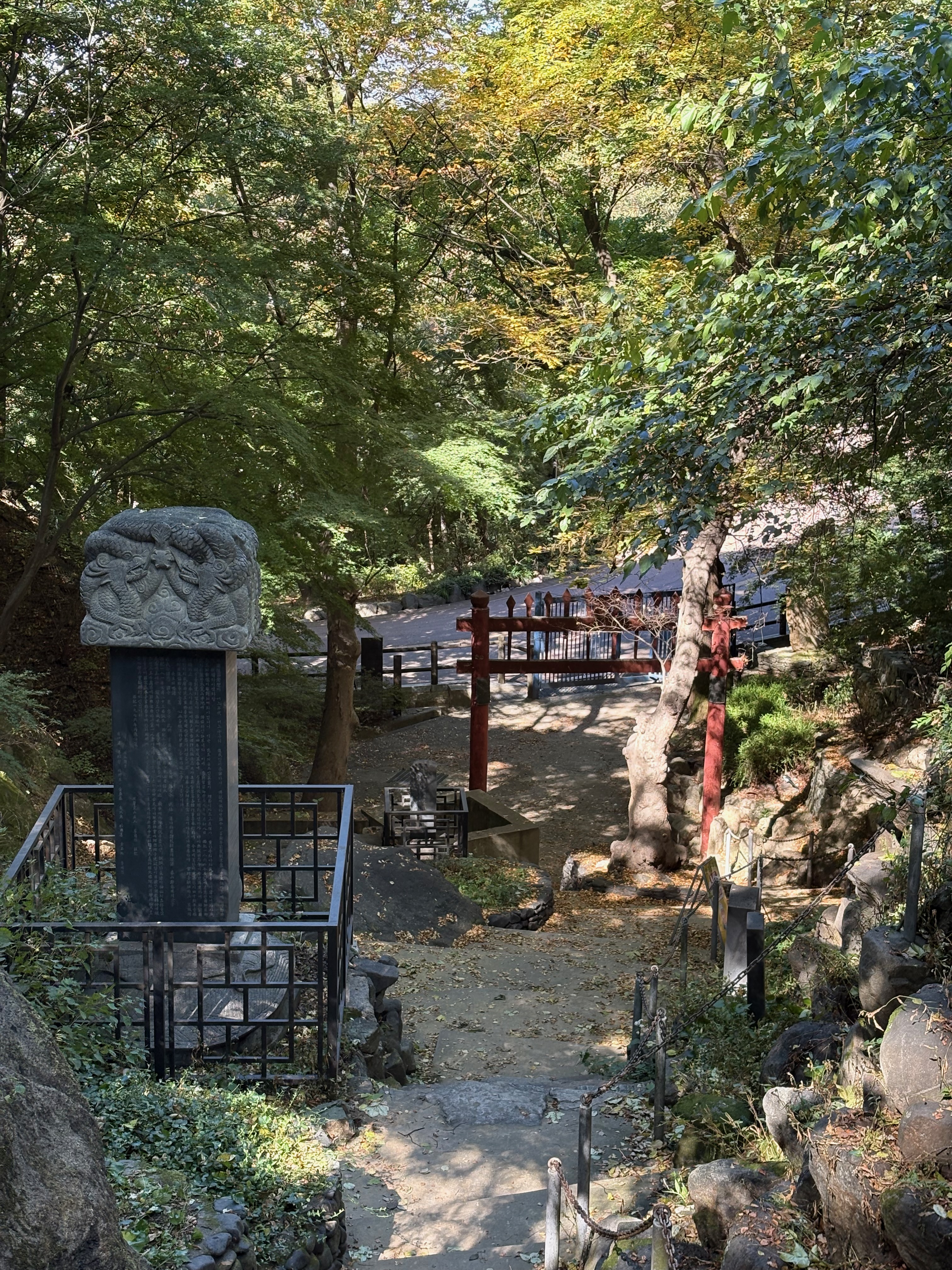
Past the monument, there’s a shrine called Waryongmyo, dedicated to Zhuge Liang, the famous strategist from Romance of the Three Kingdoms.
Perhaps because it’s so small, it doesn’t seem to attract many visitors.
The stone monument, trees, and temple gate at the entrance are beautiful.
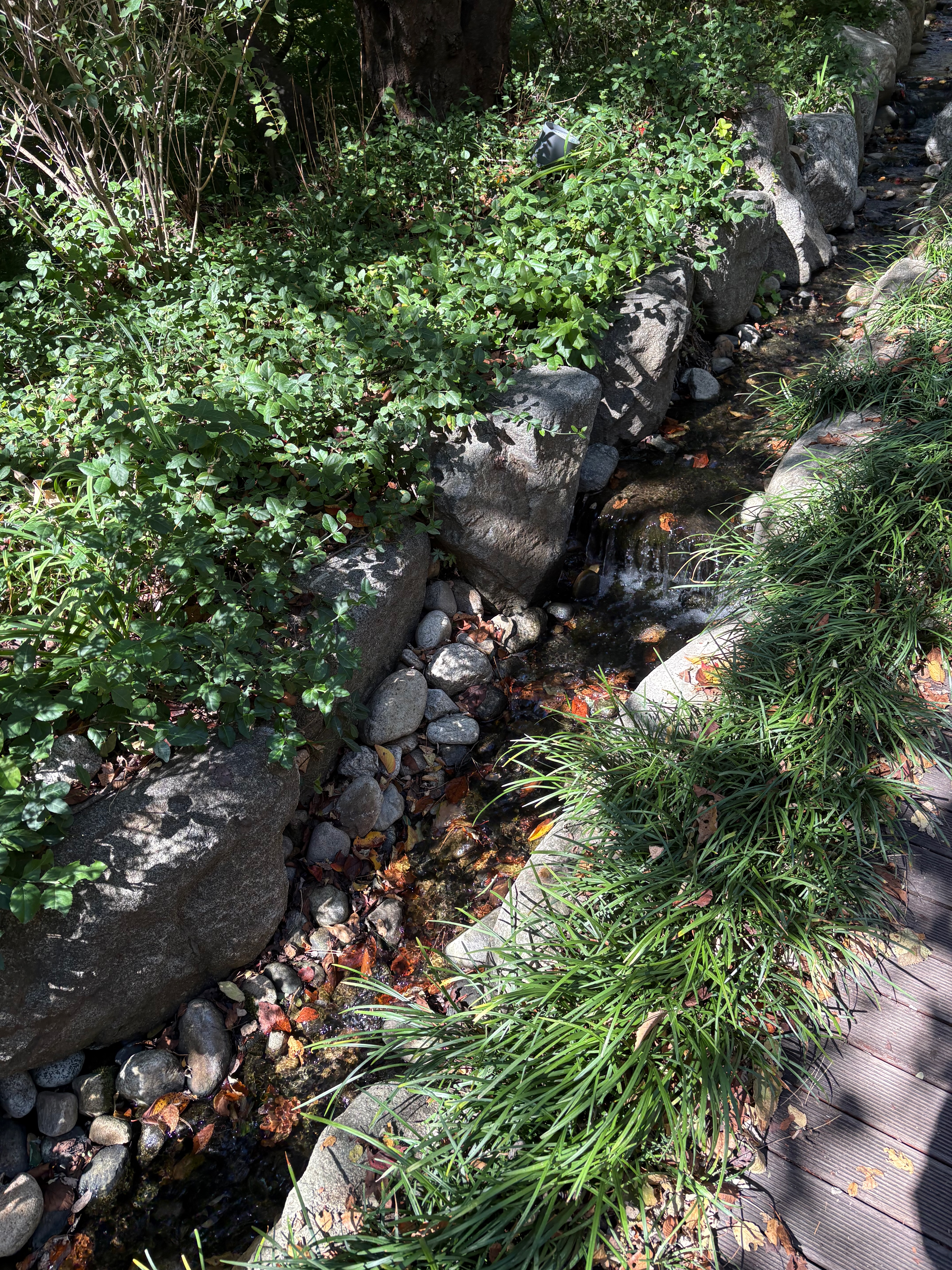
A small stream runs alongside the Northern Circular Trail.
Walking along while listening to the sound of the water puts my mind at ease.
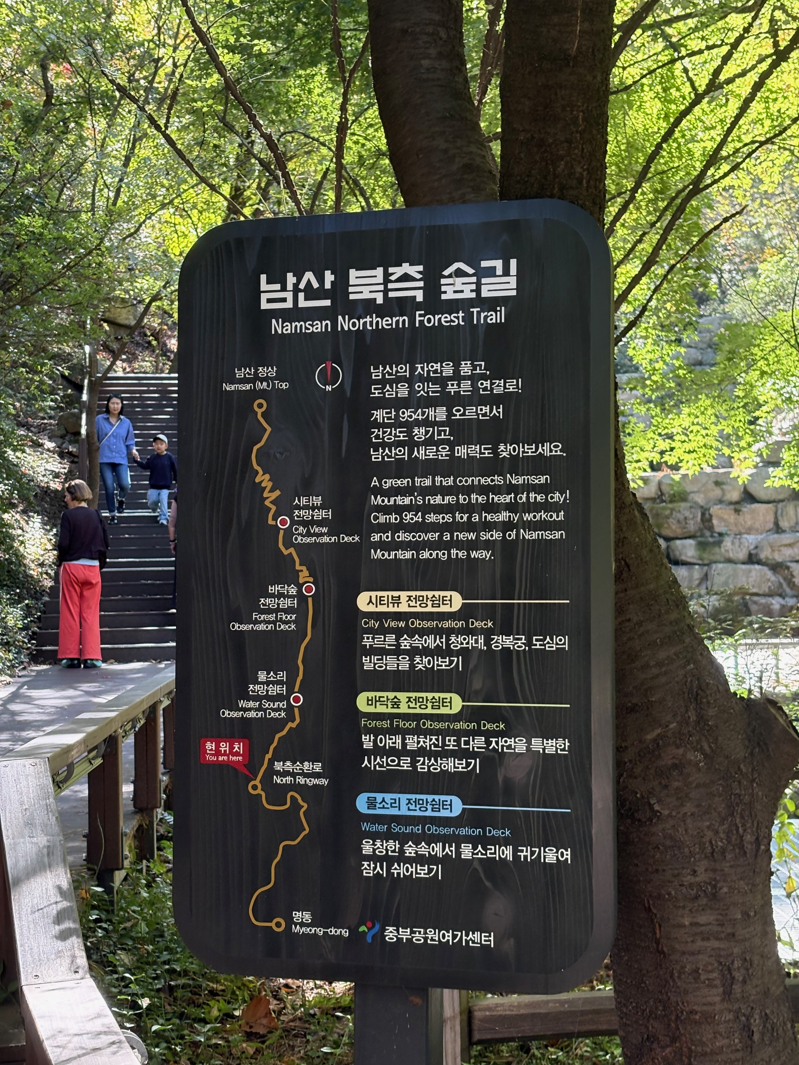
There’s a path called the Namsan Northern Forest Trail that lets you head up toward the summit without completing the entire Northern Circular Trail.
I took this path once during my sunrise outing last December.
Now, I’m heading to Namsangol Hanok Village.
Namsangol Hanok Village
Although Namsangol Hanok Village is associated with Namsan, it’s somewhat separate from the main mountain trails.
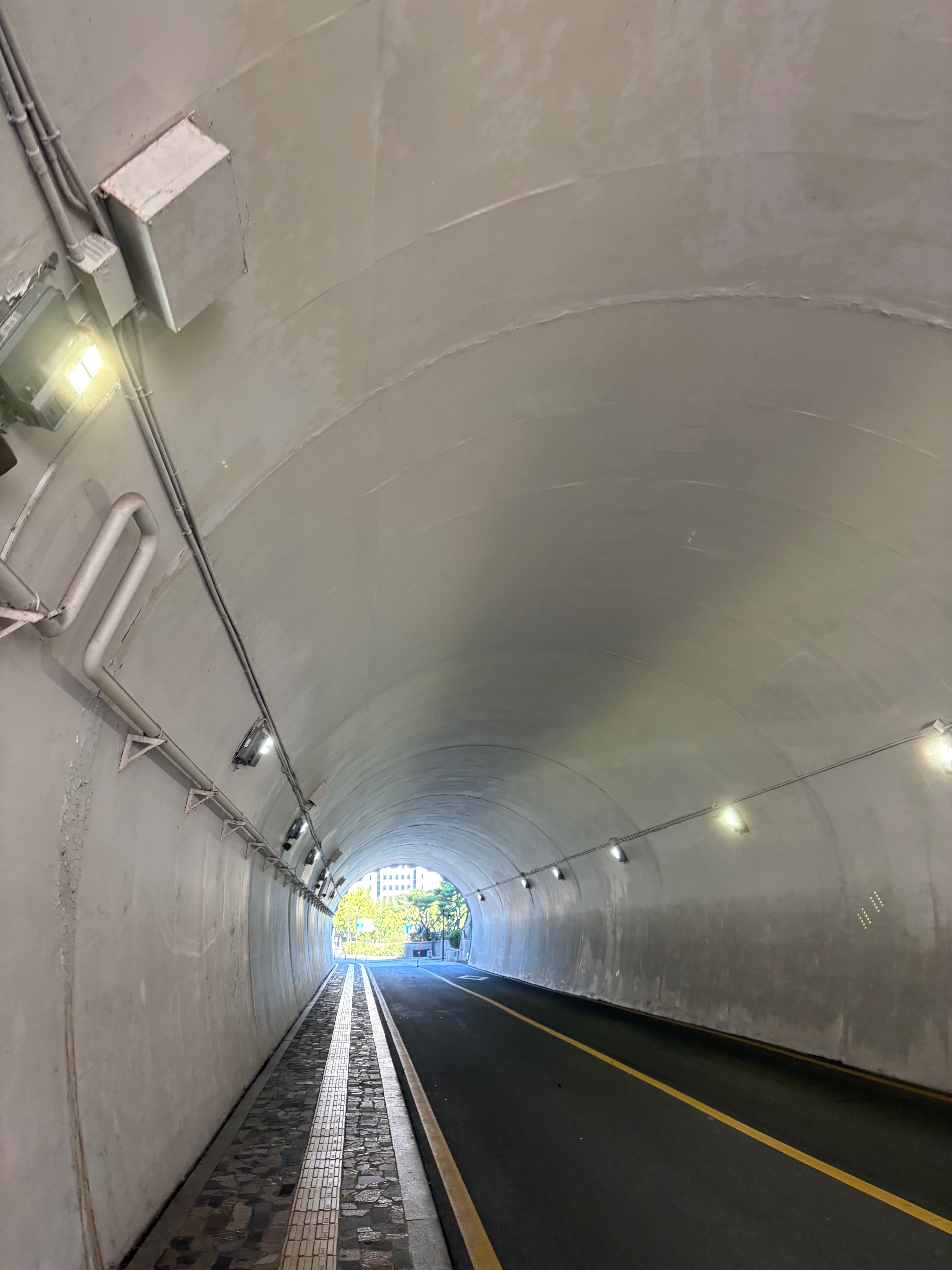
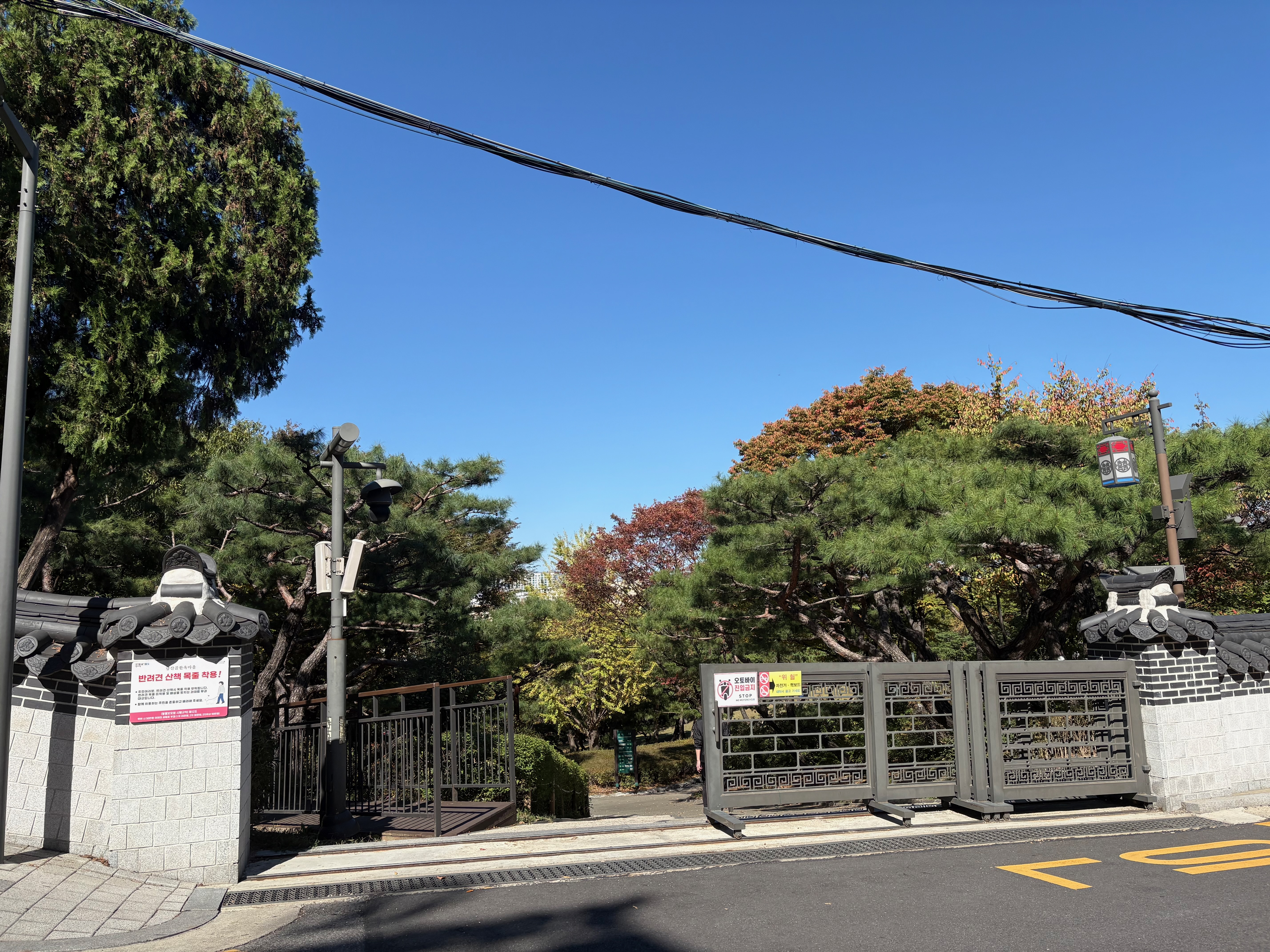
From the Northern Circular Trail, I head down toward the Seoul Metropolitan Government’s Jungbu Parks and Recreation Center. After crossing a tunnel and an overpass, I arrive at the village.
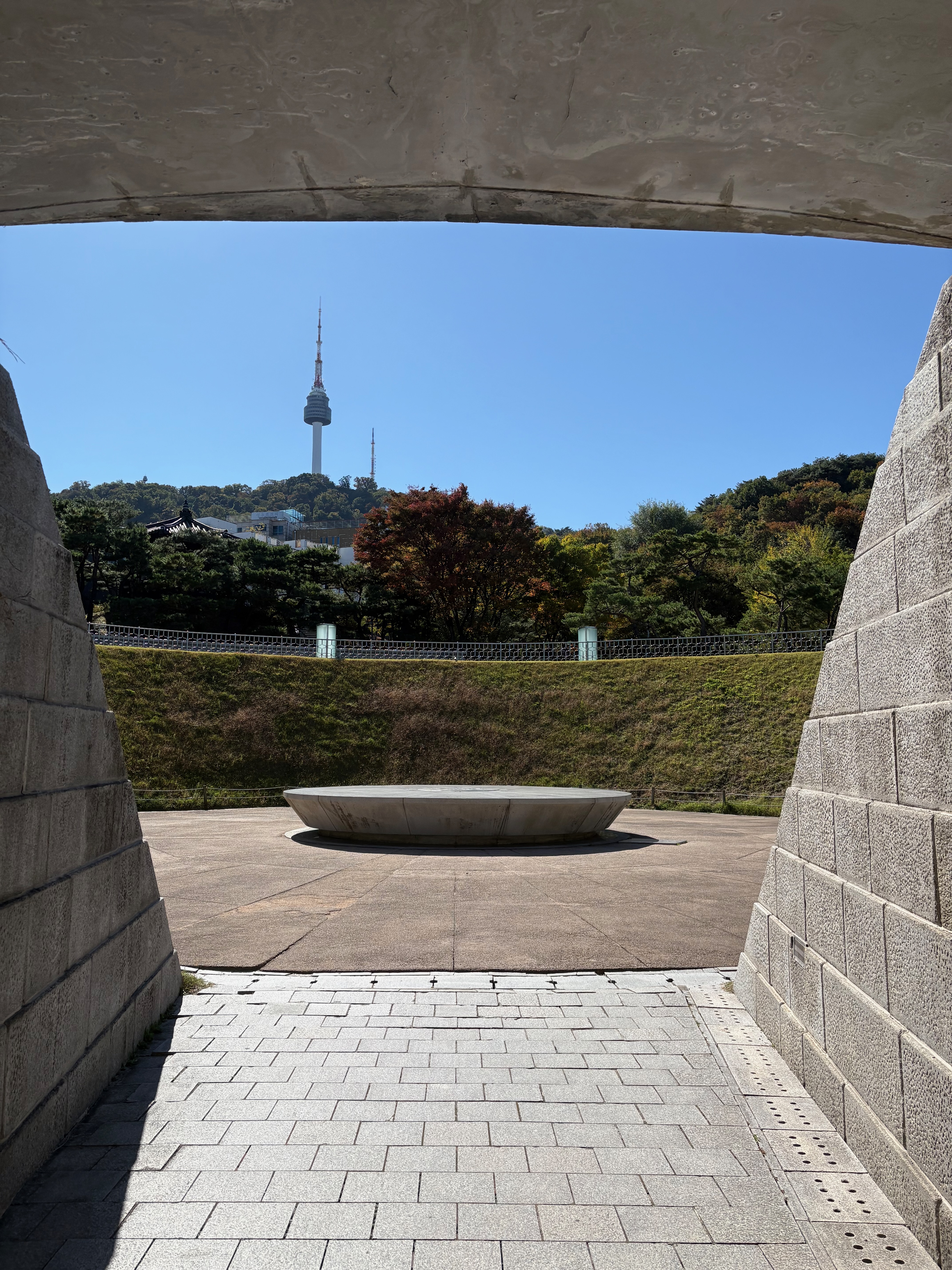
There’s a place called Seoul Millennium Time Capsule Plaza.
The Millennium Time Capsule project involves placing various items in a capsule in 1994 and opening it 400 years later, in 2394.
The idea was to mark a millennium by adding 400 years to the 600-year history of the Joseon Dynasty.
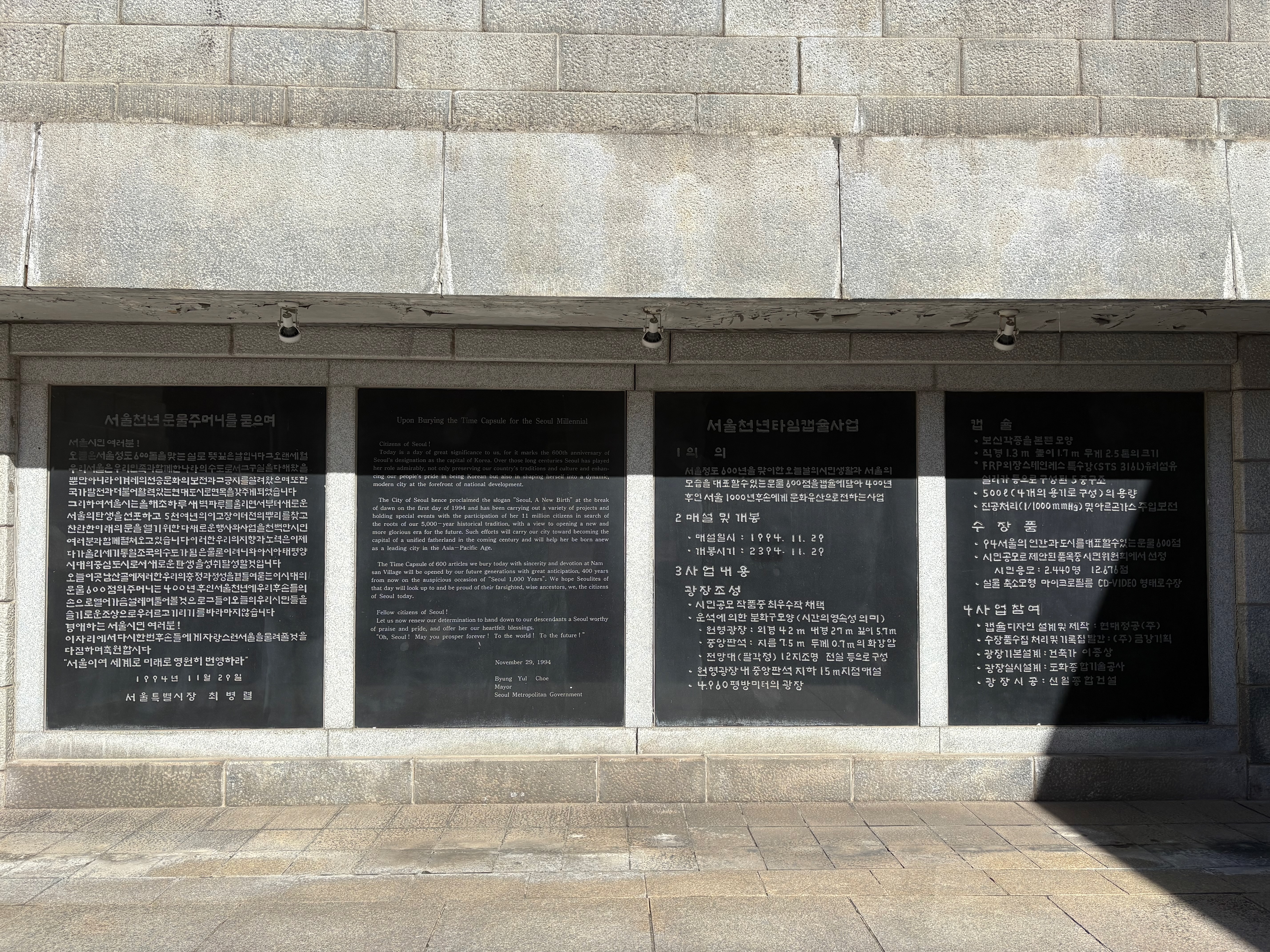
The items inside that capsule won’t be revealed for another 368 years.
Assuming the family line continues without interruption, at least twelve generations will have to pass before then.
I wonder what life will be like for people in the 24th century.
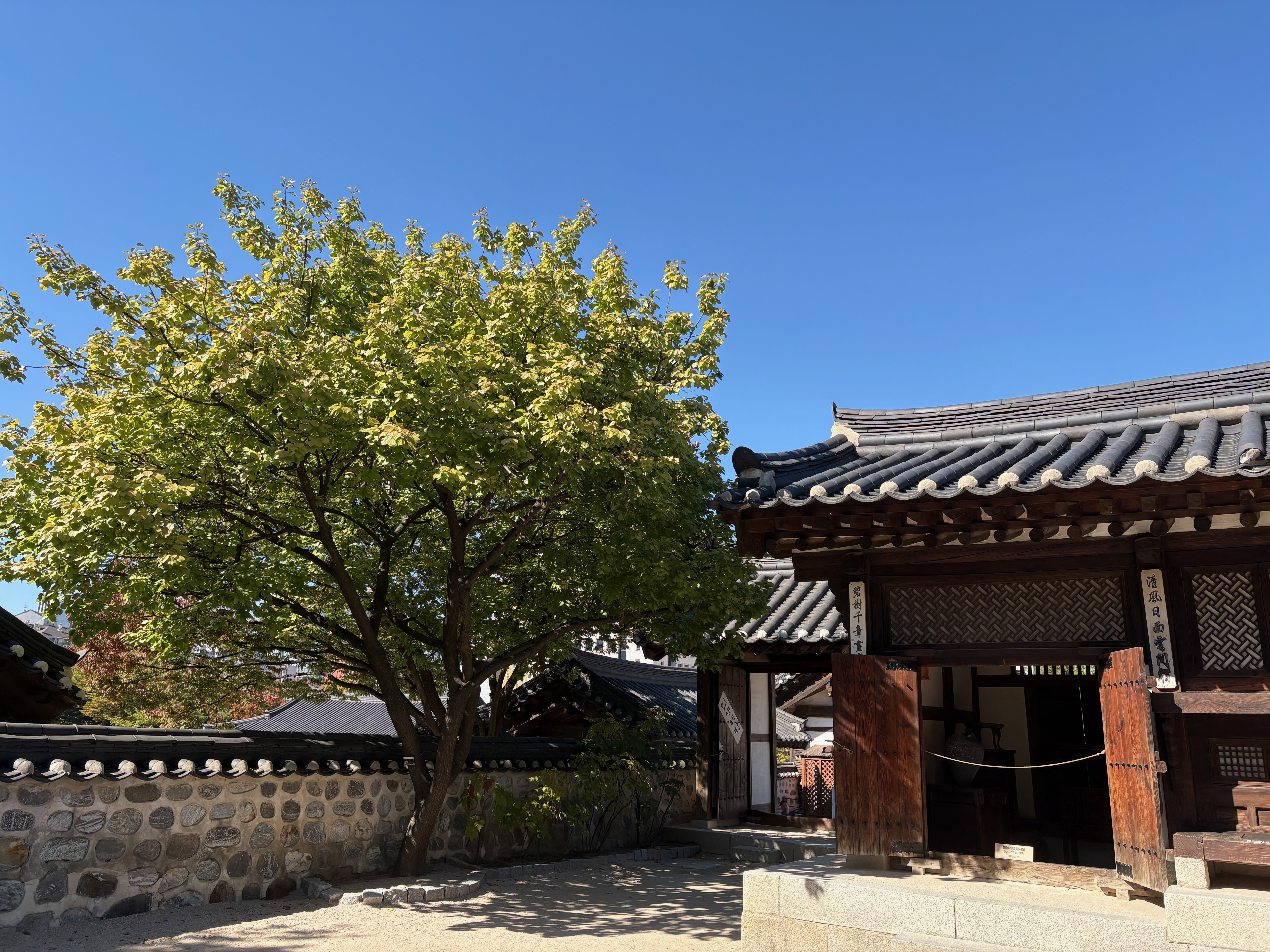
Namsangol Hanok Village is a collection of traditional Korean houses, the kind you can occasionally find elsewhere.
I see lots of foreign visitors taking photos.
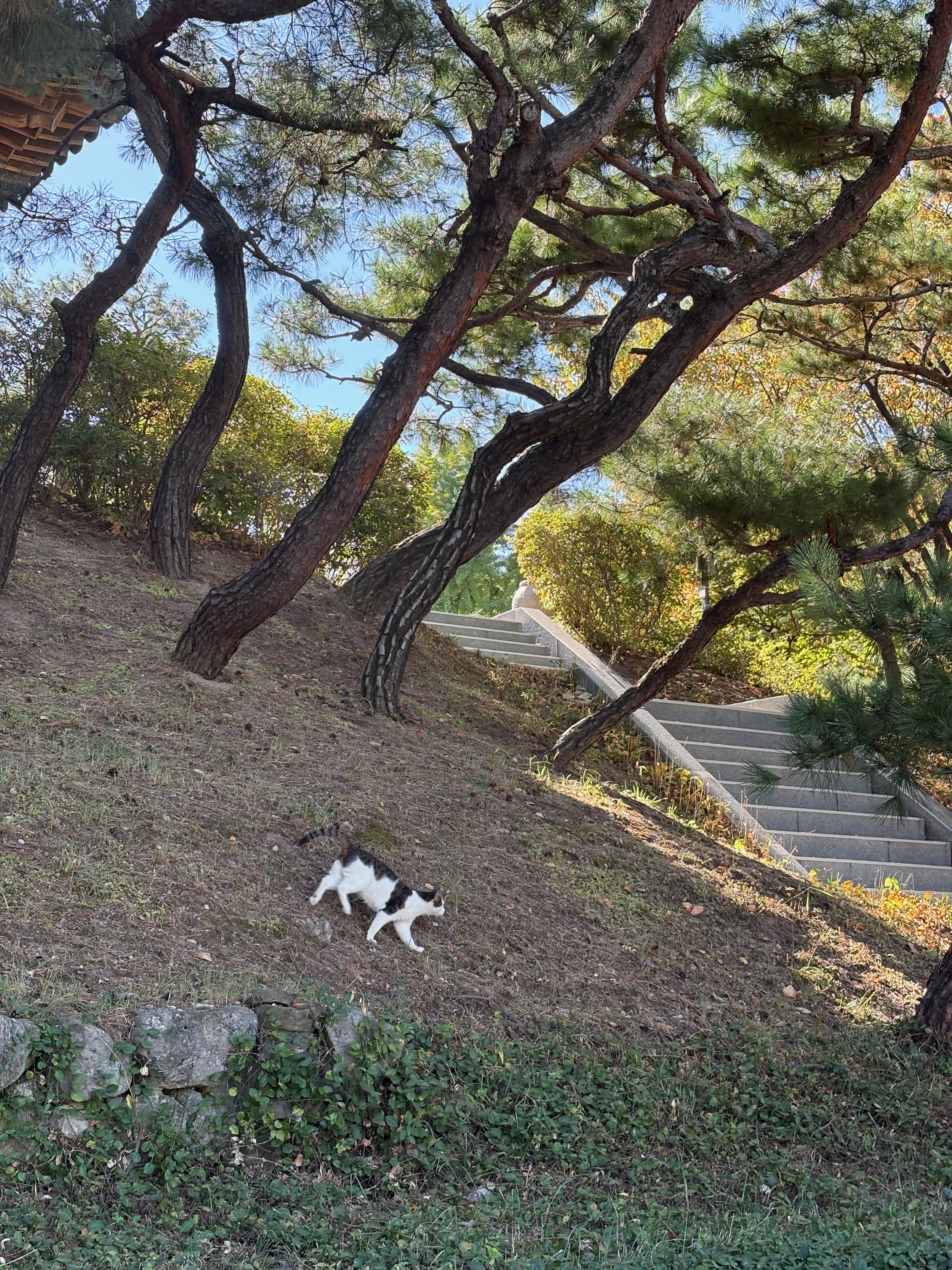
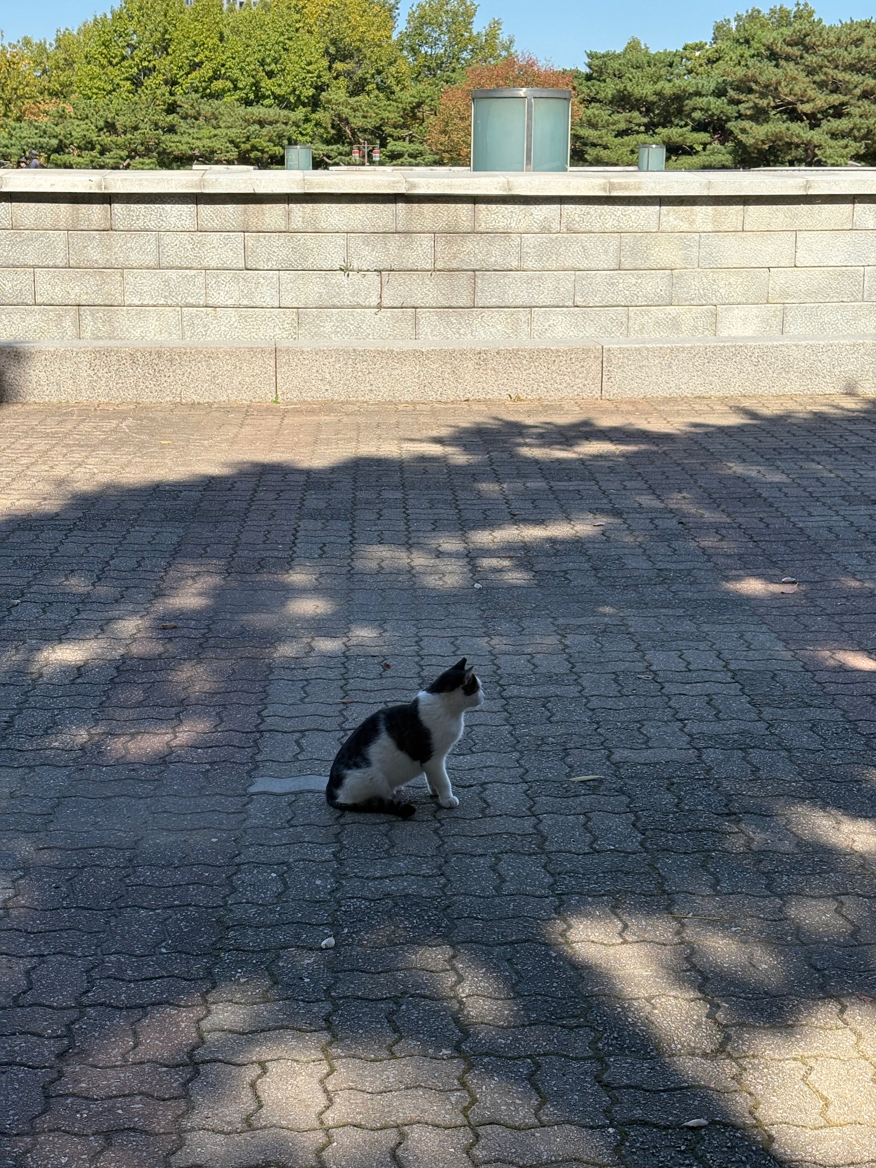
I spotted a cat.
Maybe because it lives on the mountain, it’s good at climbing trees. I watched it climb a pine tree and scratch away at the trunk.
Recently, I added some photos of cats I’ve encountered on the street to my archive.
Now, I’m heading back to the Northern Circular Trail.
Korean Forest Garden and the Southern Circular Trail
Beyond the Northern Circular Trail is Namsan Cherry Blossom Road, a flat, straight path.
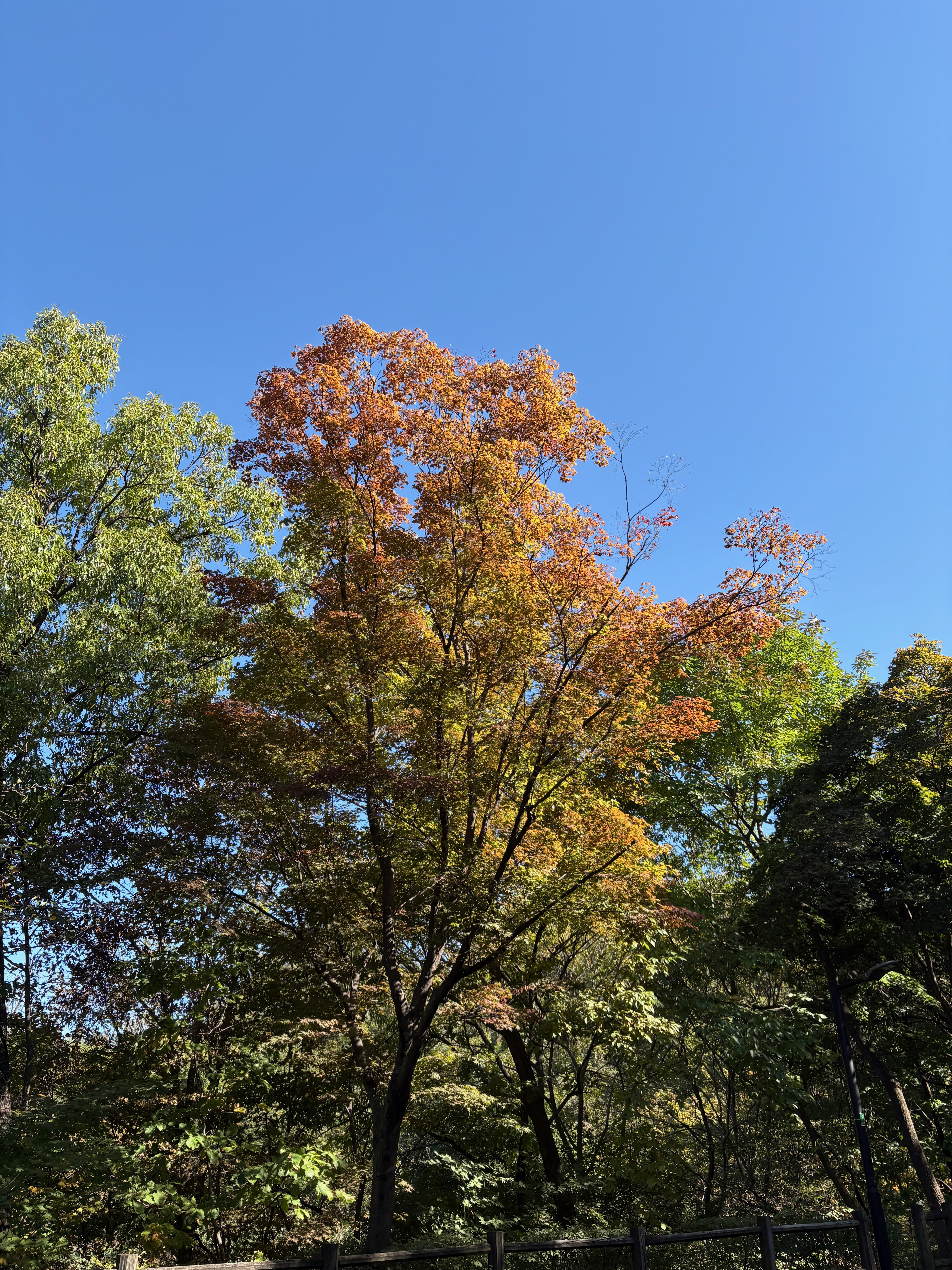
Most of the trees are still green, but I can already see some turning red.
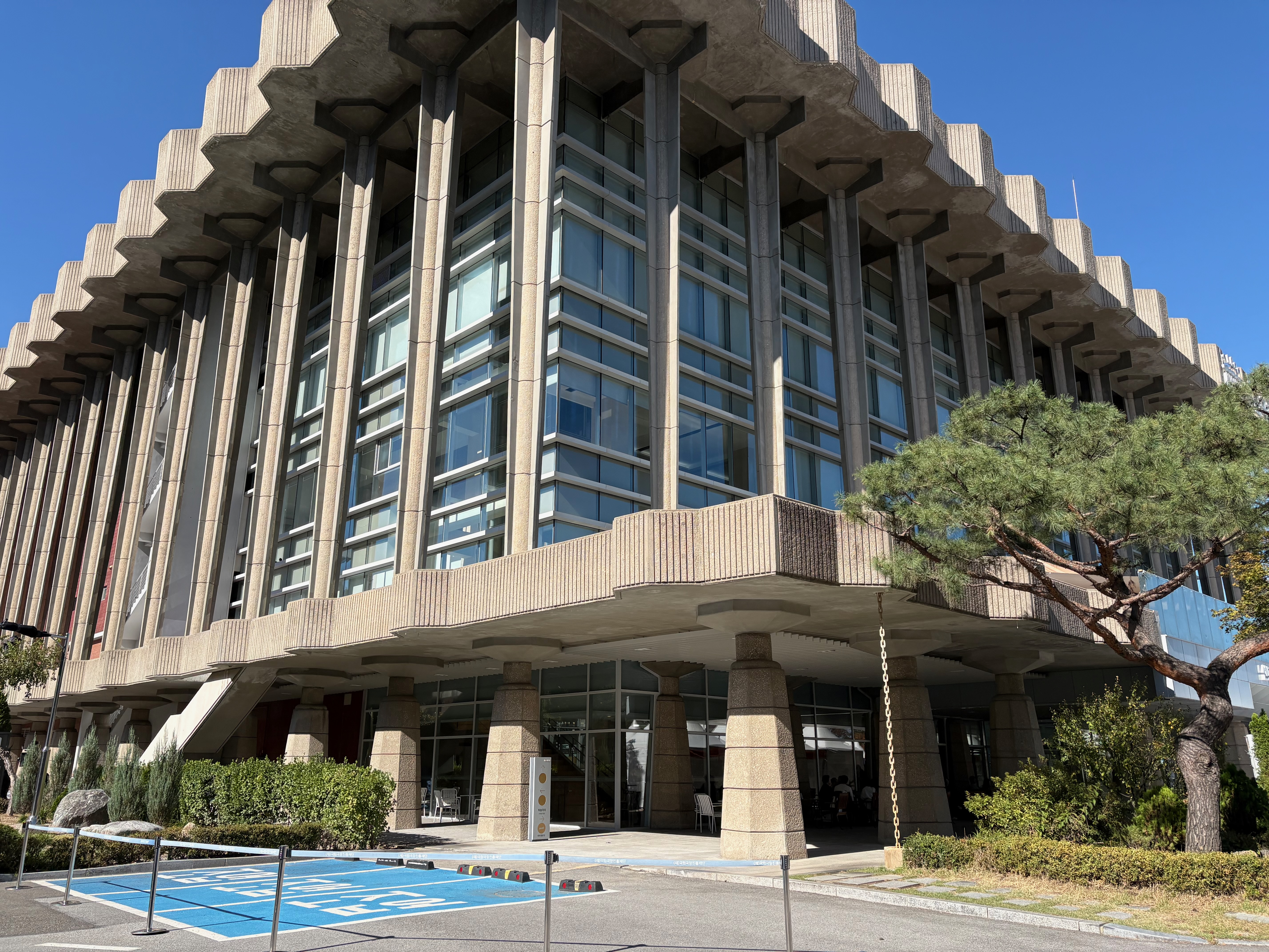
I stop by the nearby National Theater of Korea for a quick look around.
An event called Seoul Performing Arts Market 2026 is underway.
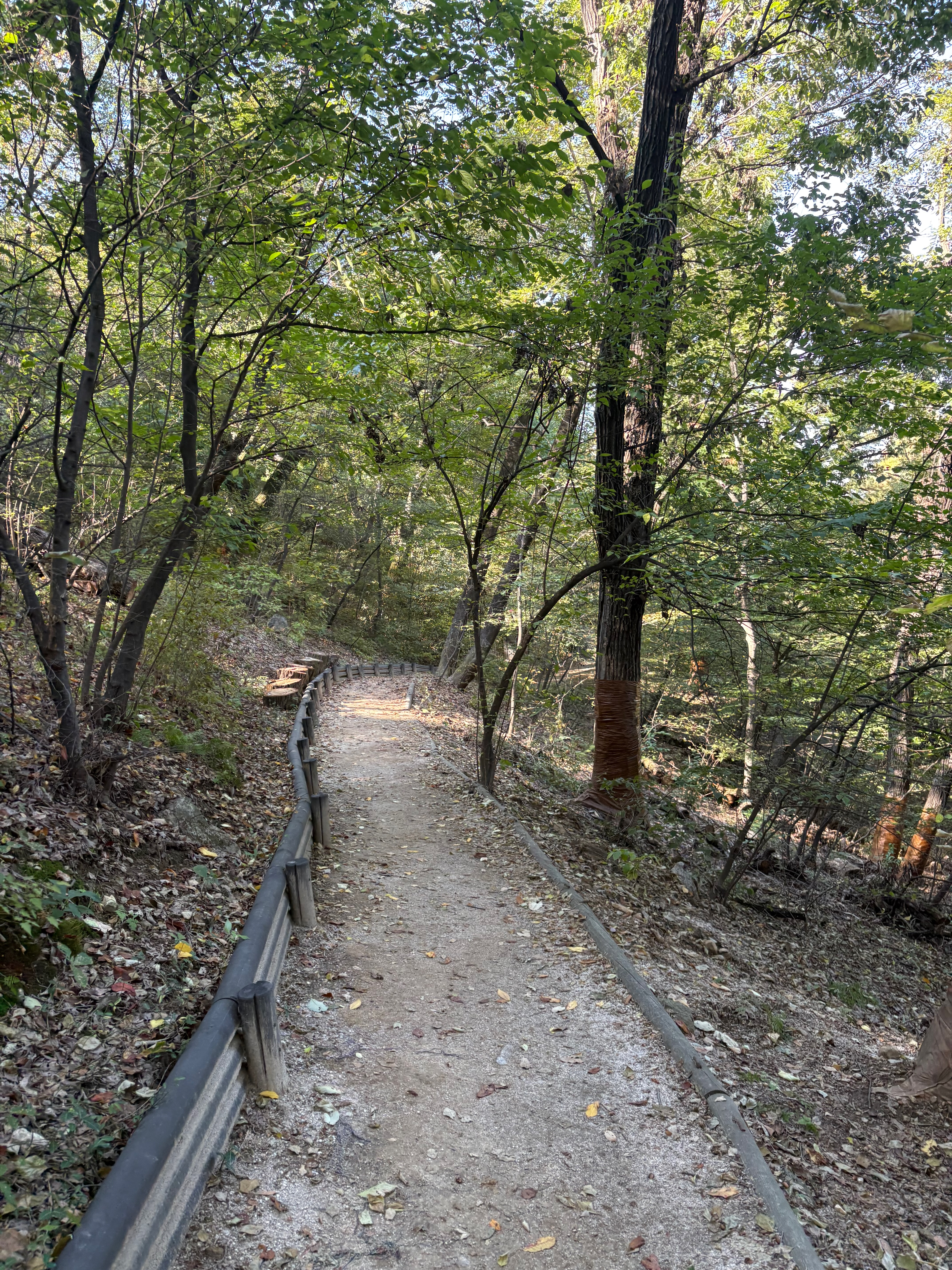
Unlike the Northern Circular Trail, the path leading to the Korean Forest Garden is narrow and unpaved.
After walking on asphalt for so long, stepping on dirt again makes me feel like I’m finally hiking in the mountains.
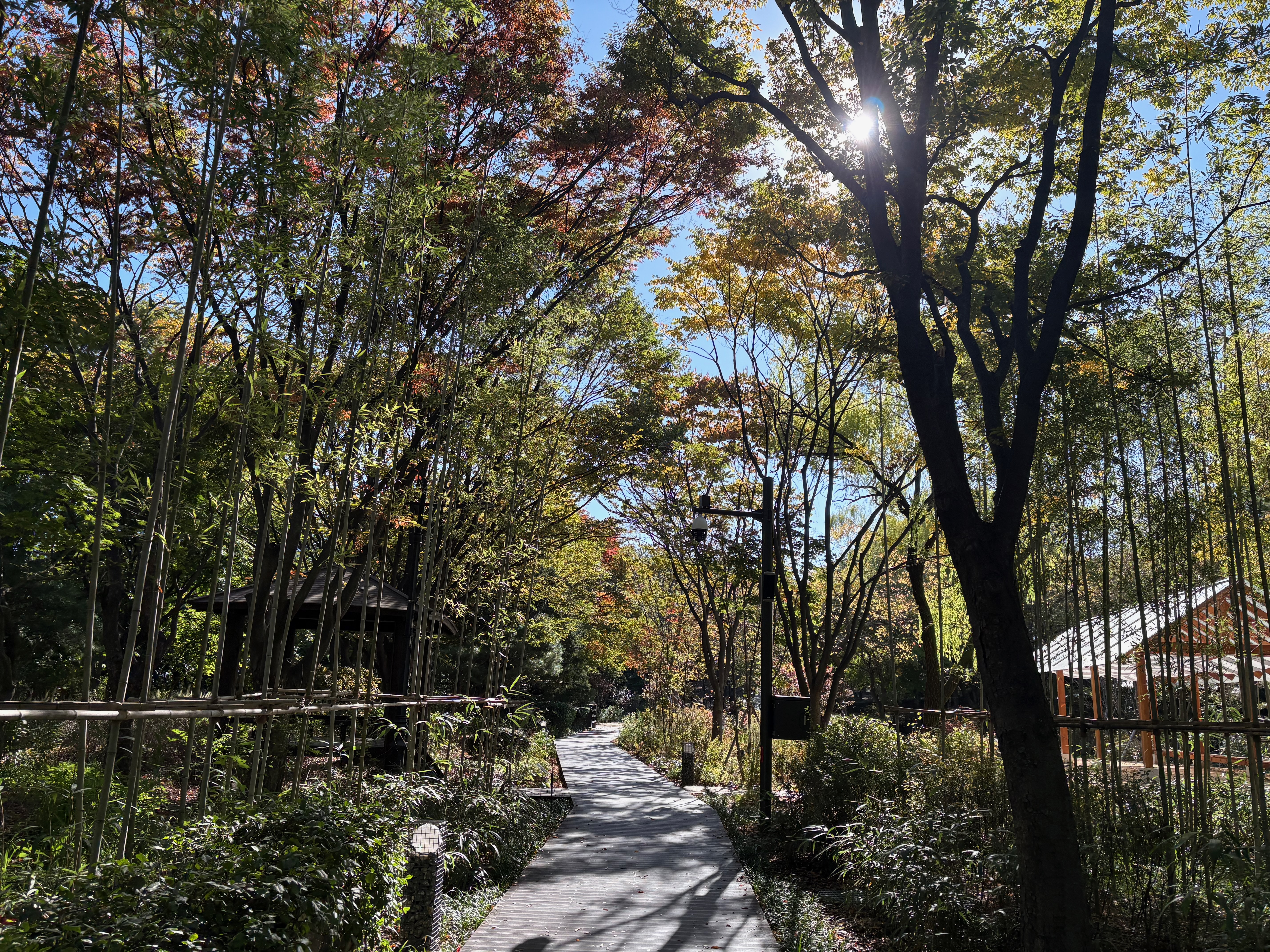
The Korean Forest Garden is an area where flowers and trees have been arranged around various themes.
There’s even an ocher trail that’s popular with older visitors.
I came across another cat.
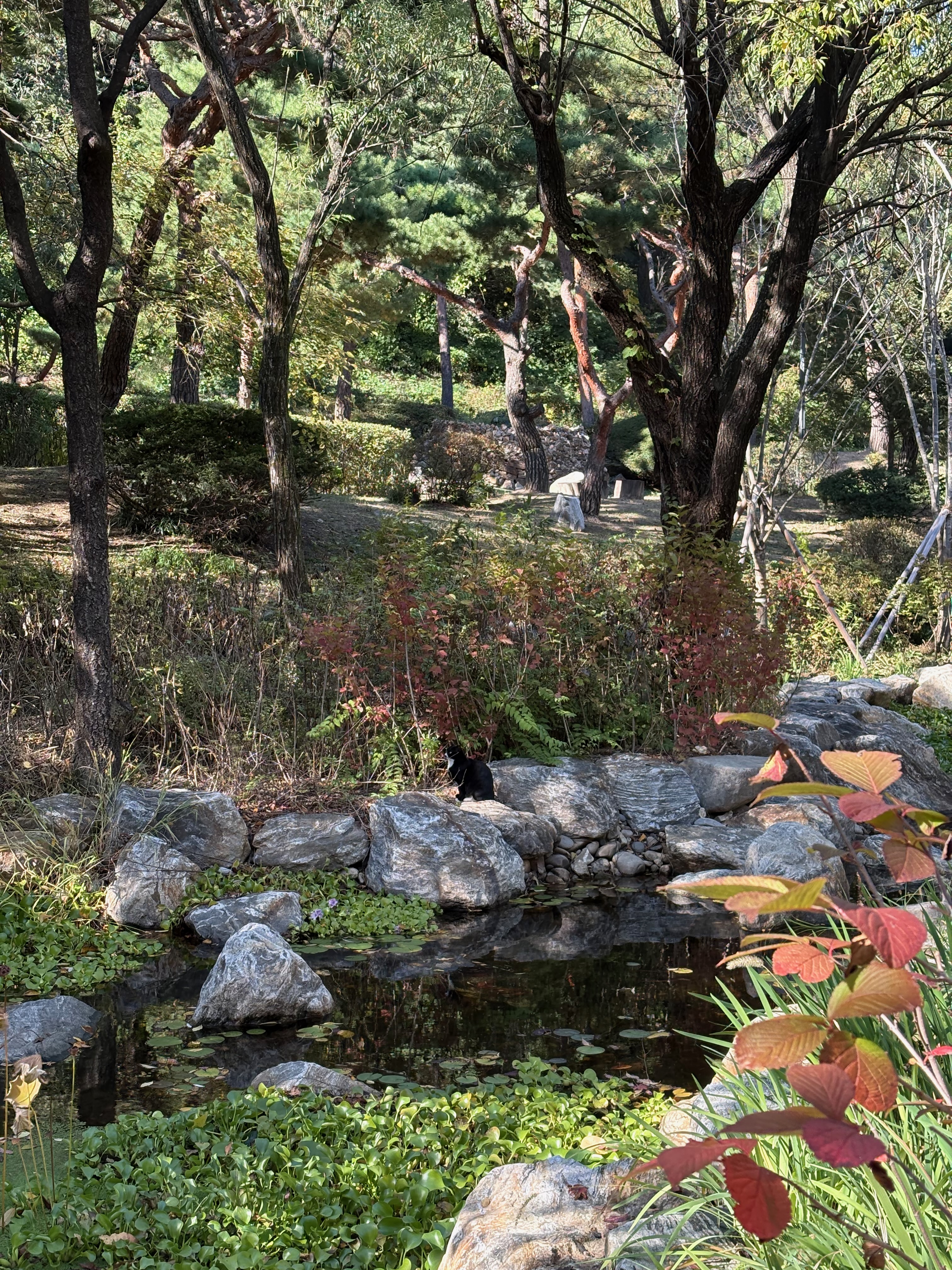
On the opposite side from the cat, a squirrel came down to drink some water.
I wish I’d recorded it on video.
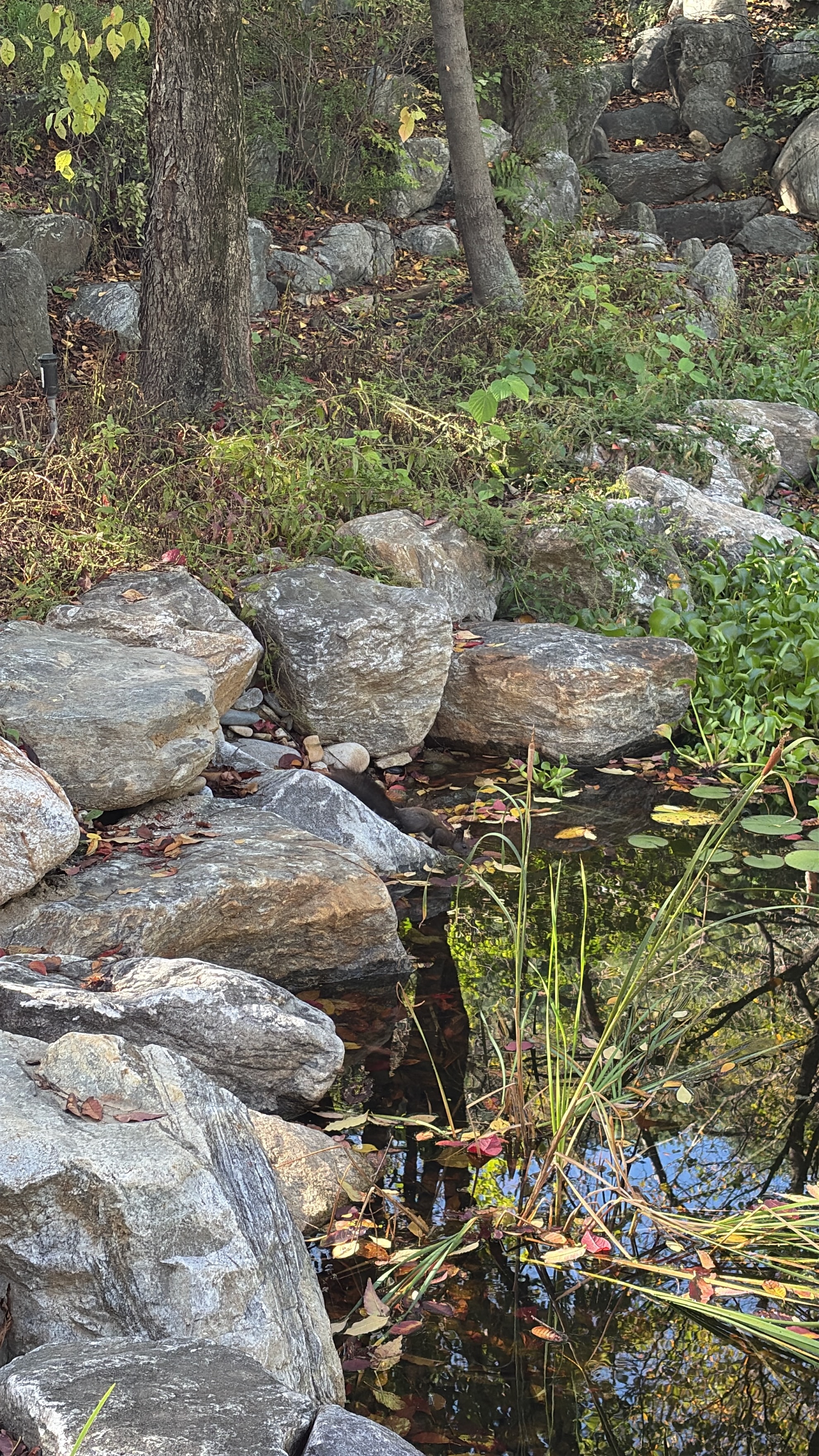
Instead, I took a photo after it finished drinking, as it searched the ground for something to eat.
From that point on, the cat on the other side crouched into a hunting position and patiently waited for an opportunity to strike.
The squirrel didn’t realize the cat was watching it, but luckily managed to escape by climbing to the top of a tree.
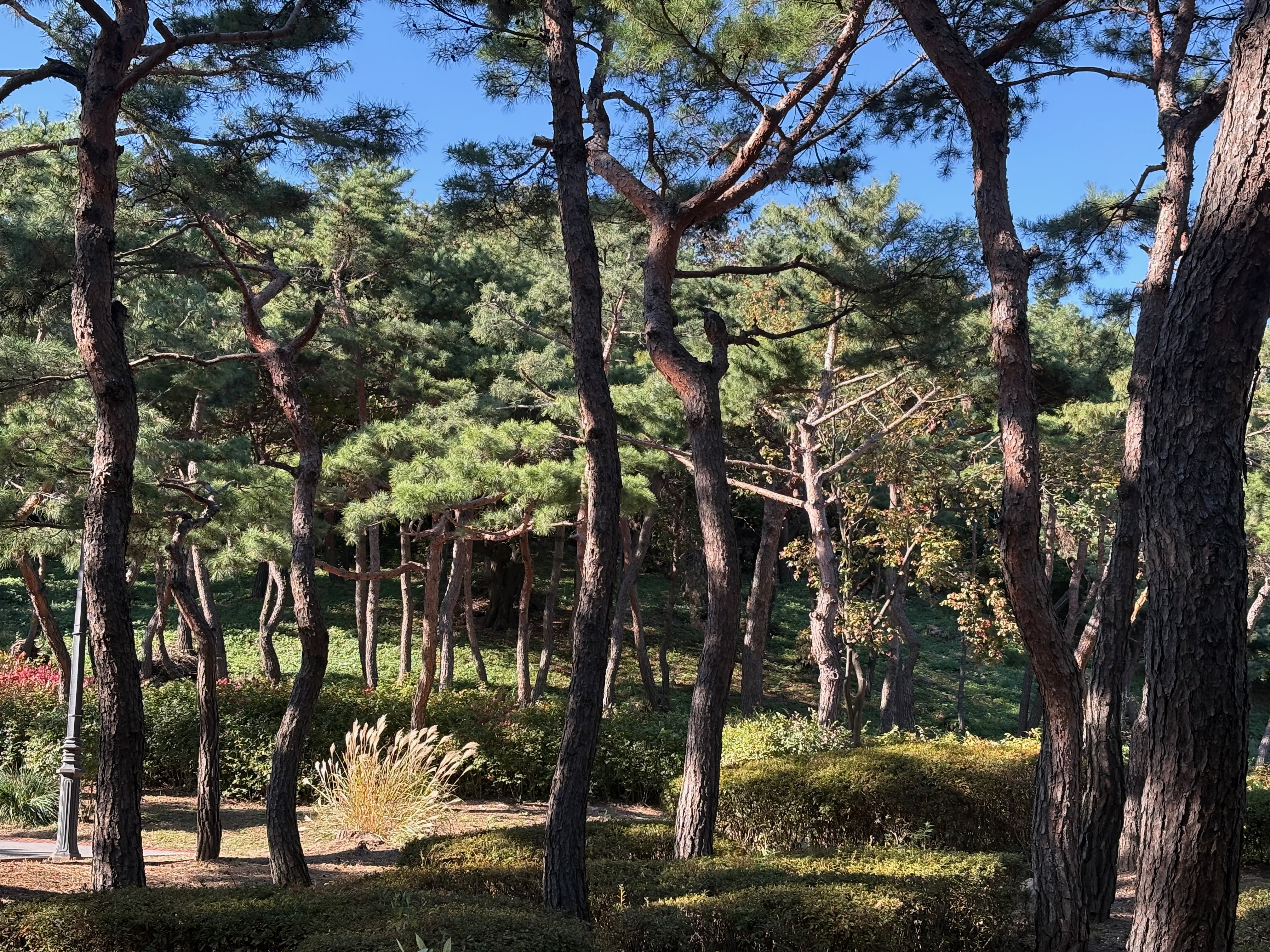
Unlike the upper part of Namsan, the lower slopes have lots of pine trees.
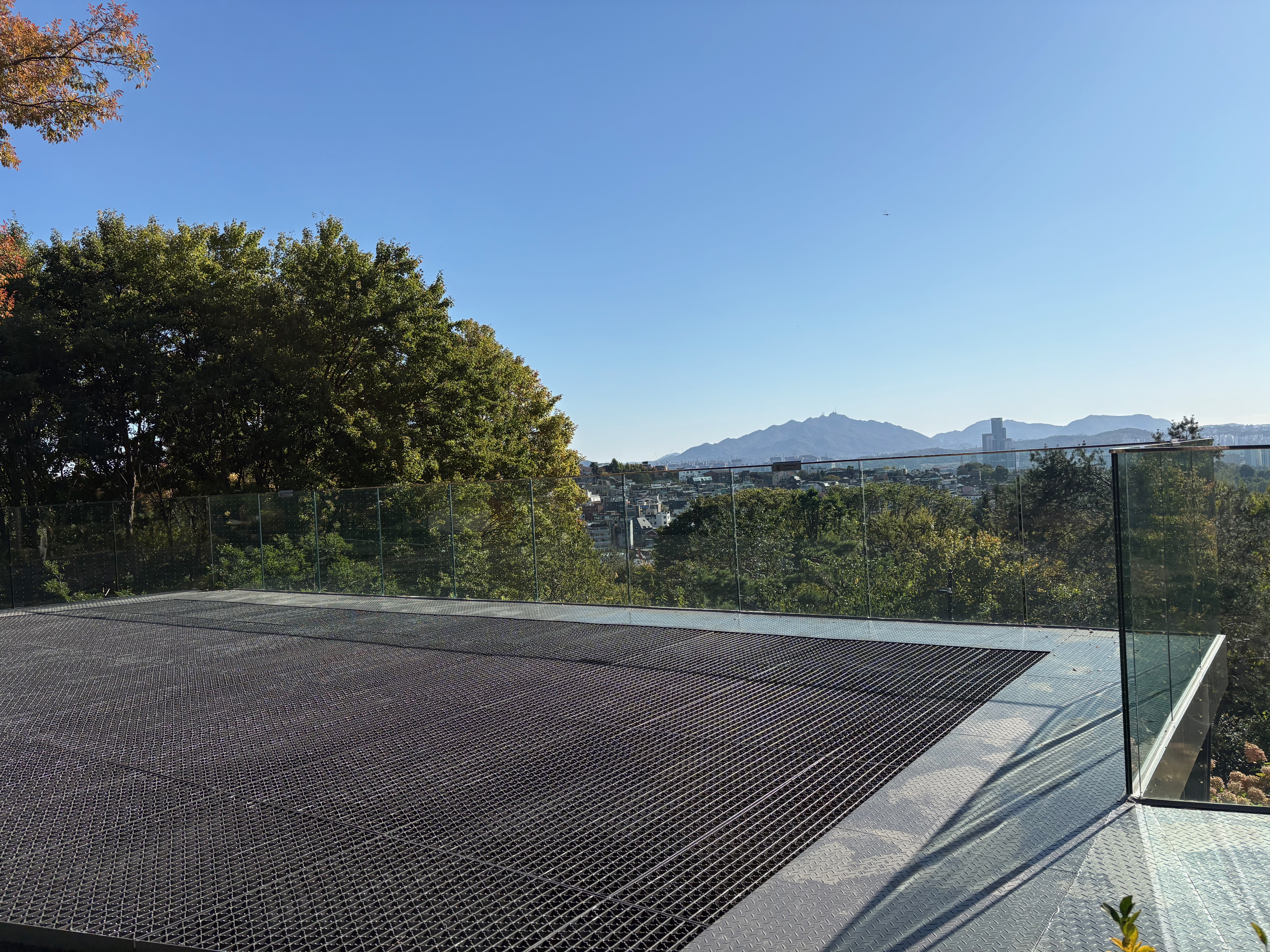
There’s also an observation deck called Namsan Maru.
What’s unusual about this place is that the deck beneath your feet has wide gaps, allowing you to look closely at the plants growing below the railing.
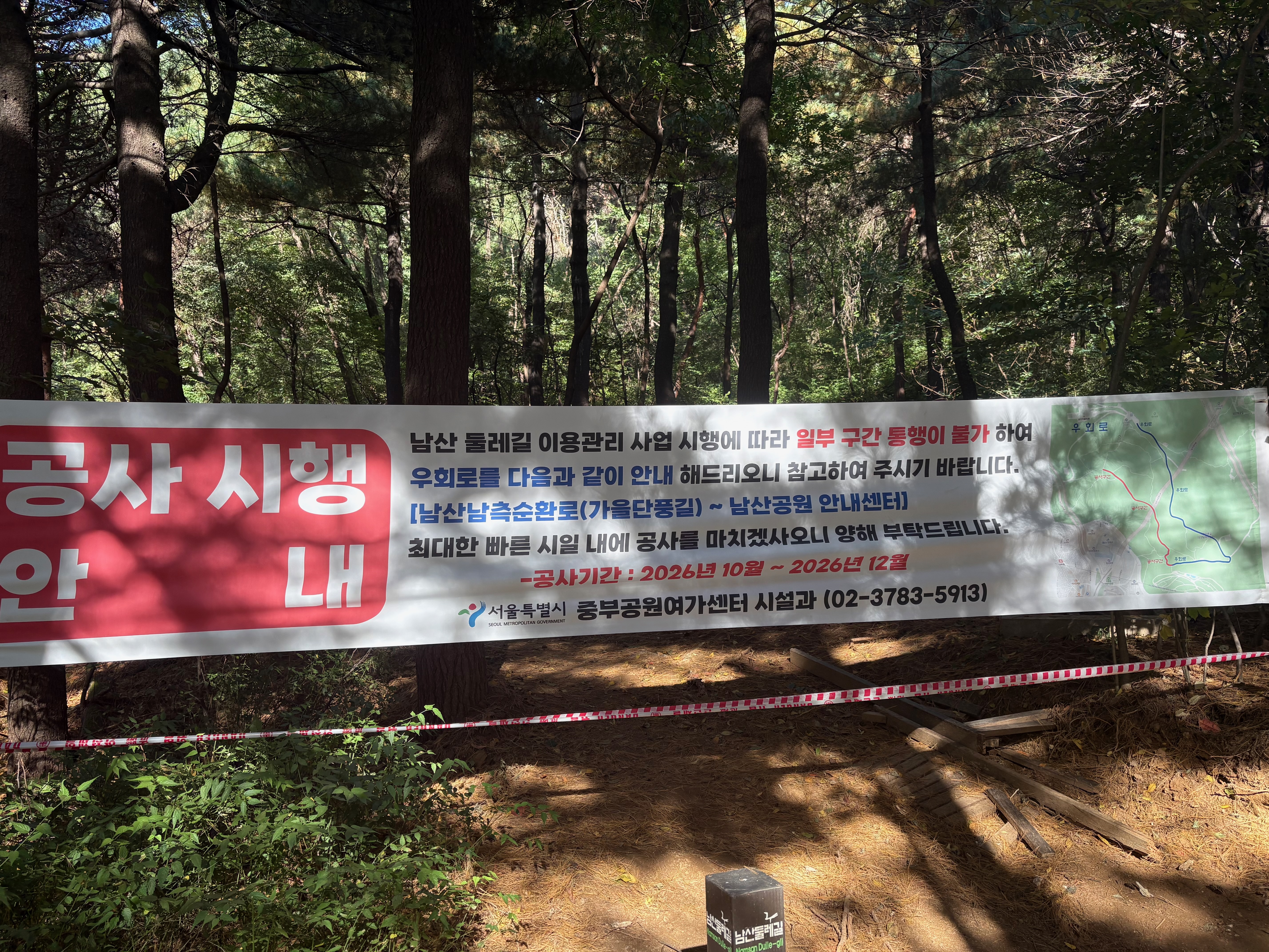
The path I originally planned to take was blocked off because of construction.
There are several branching paths in this area. I accidentally took a wrong turn down a dead end once and had to backtrack.
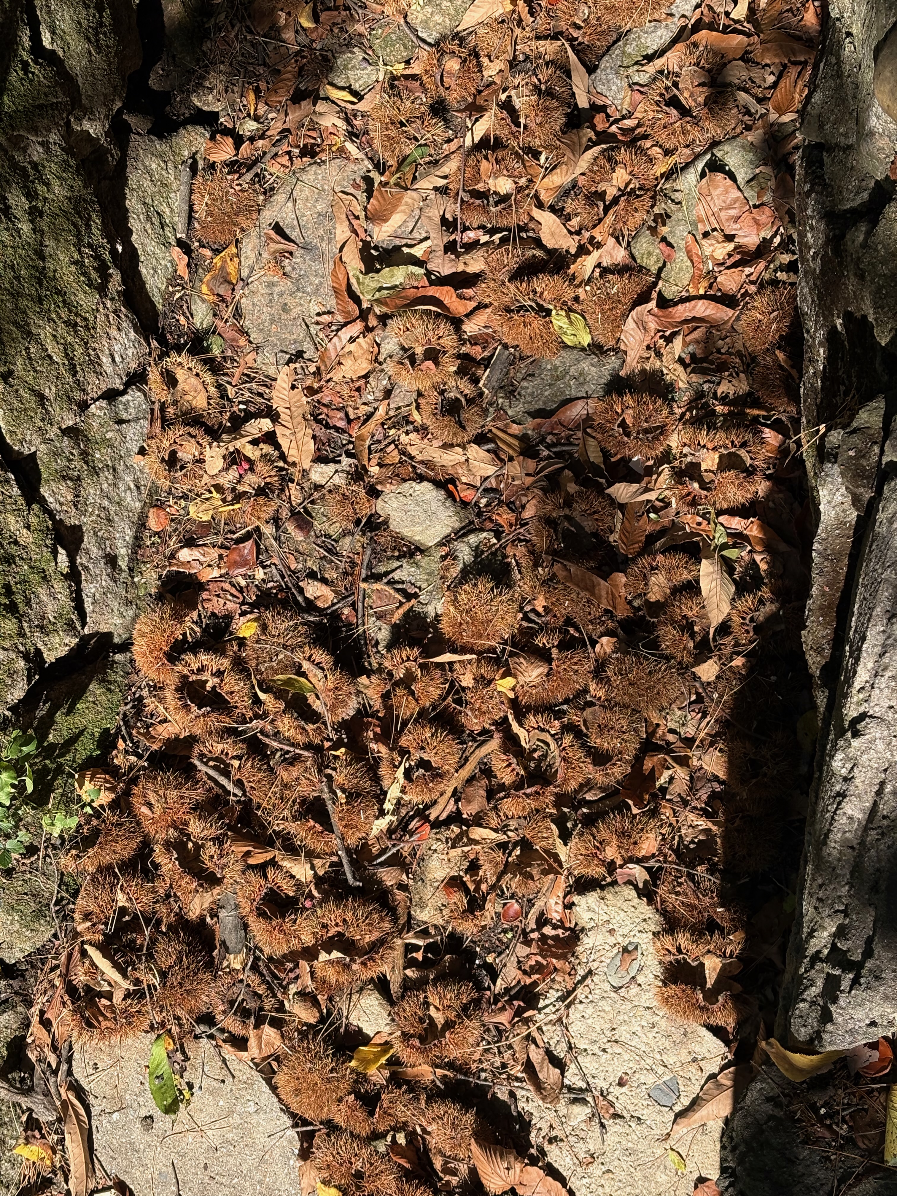
There are chestnut burrs scattered all over the ground.
I remember going up the hill behind my kindergarten when I was little and bursting into tears after a chestnut burr pricked my calf.
It’s one of the few memories I have from early childhood. I should buy some roasted chestnuts from a street vendor this year.
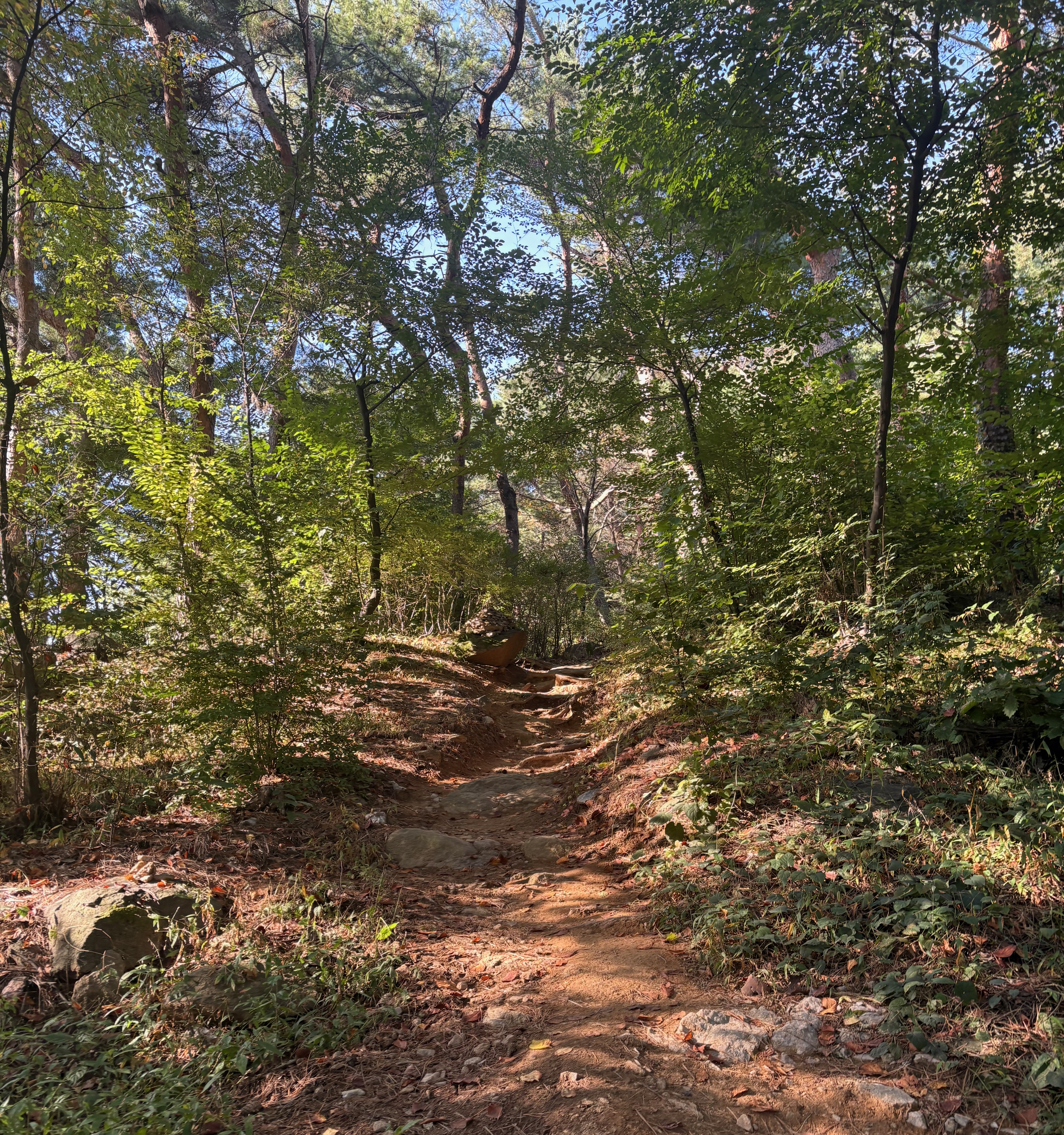
Some sections of the Southern Circular Trail are proper mountain paths, unlike the Northern Circular Trail and the Korean Forest Garden.
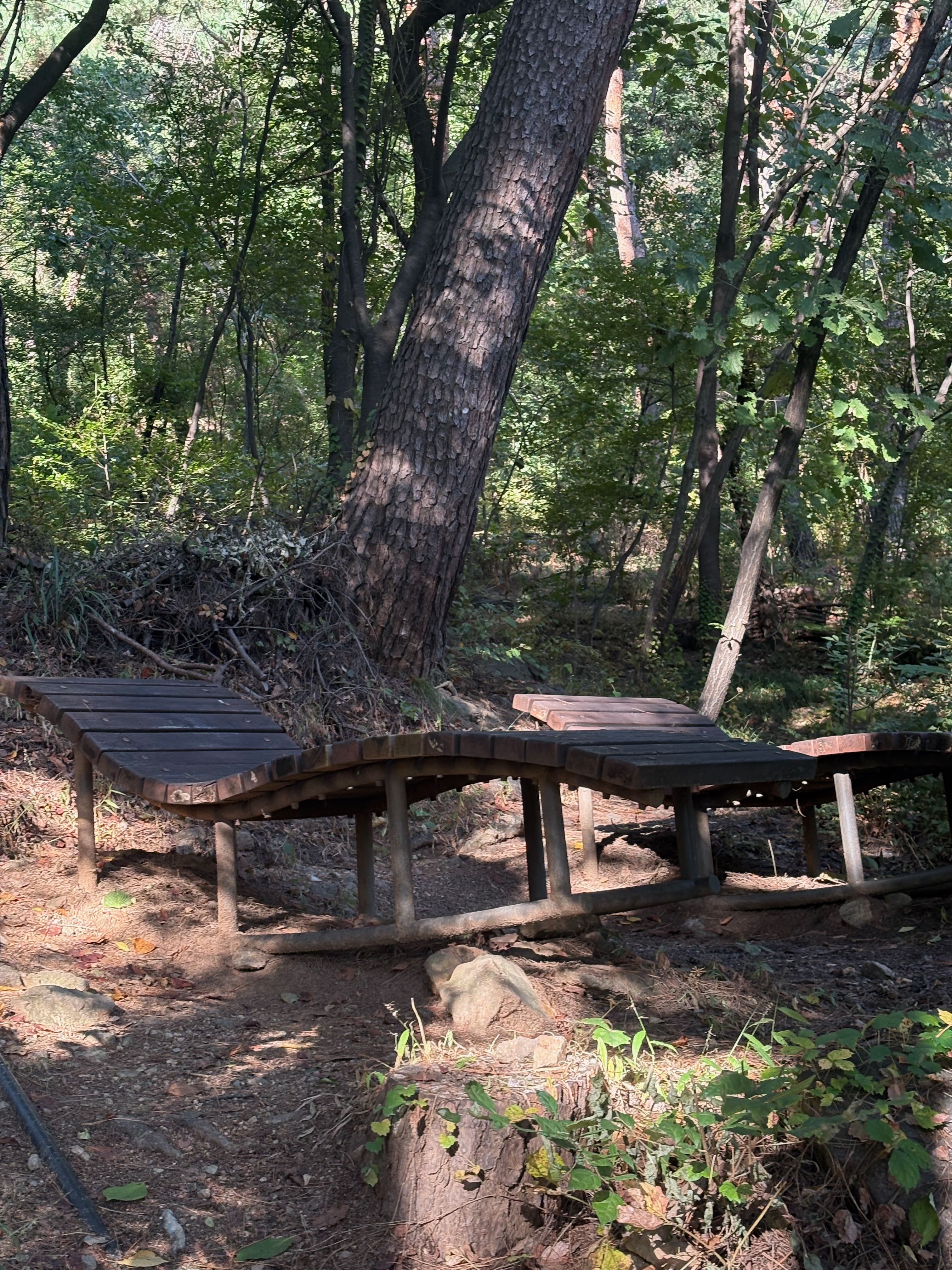
There’s even a wooden platform where you can lie down.
I thought it would be nice to come back here on a sunny day and read a book.
Once I emerge from the mountain trail, I reach a road used by buses and bicycles.
When I see this road, I know the summit isn’t far away.
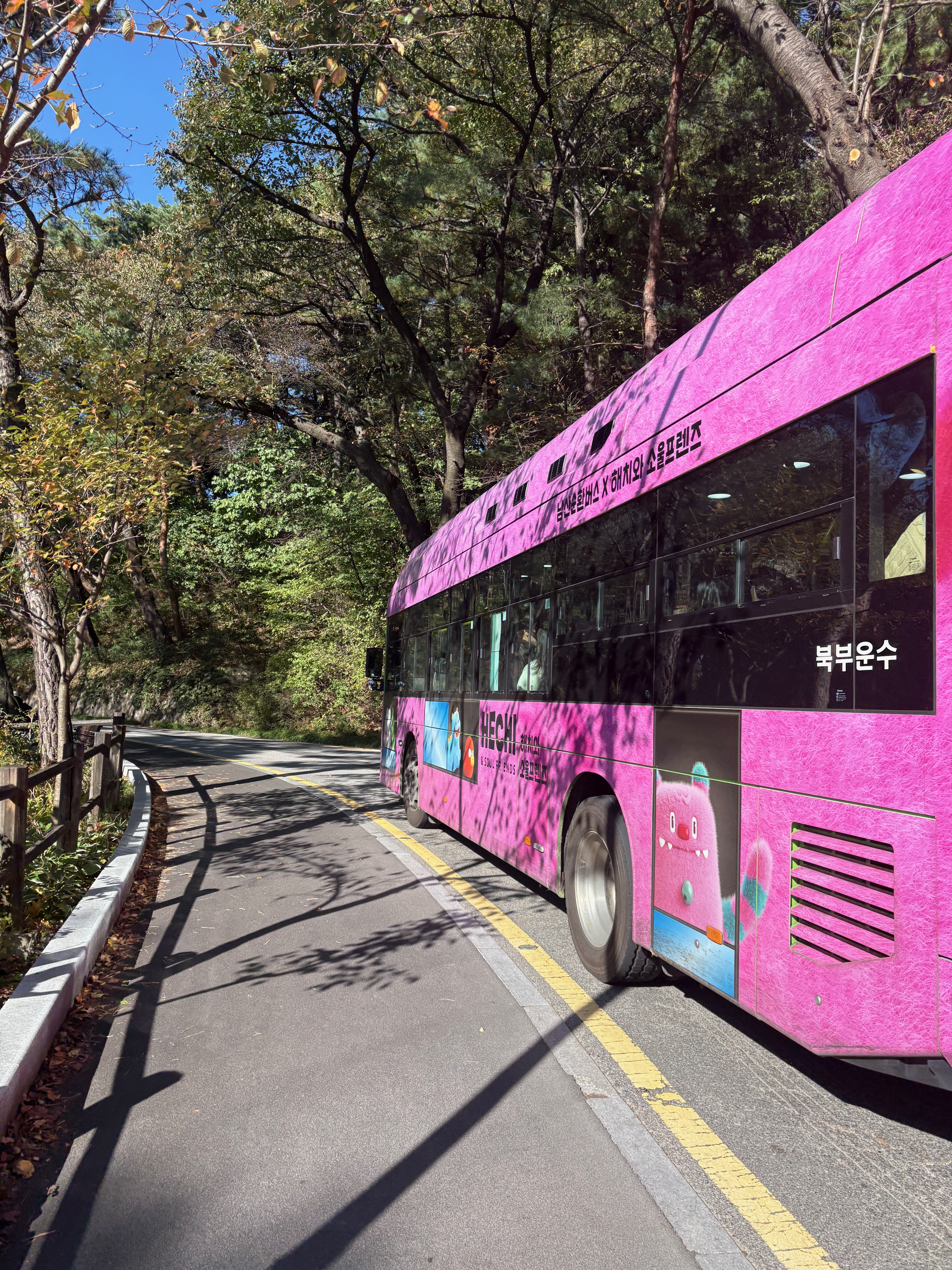
Namsan
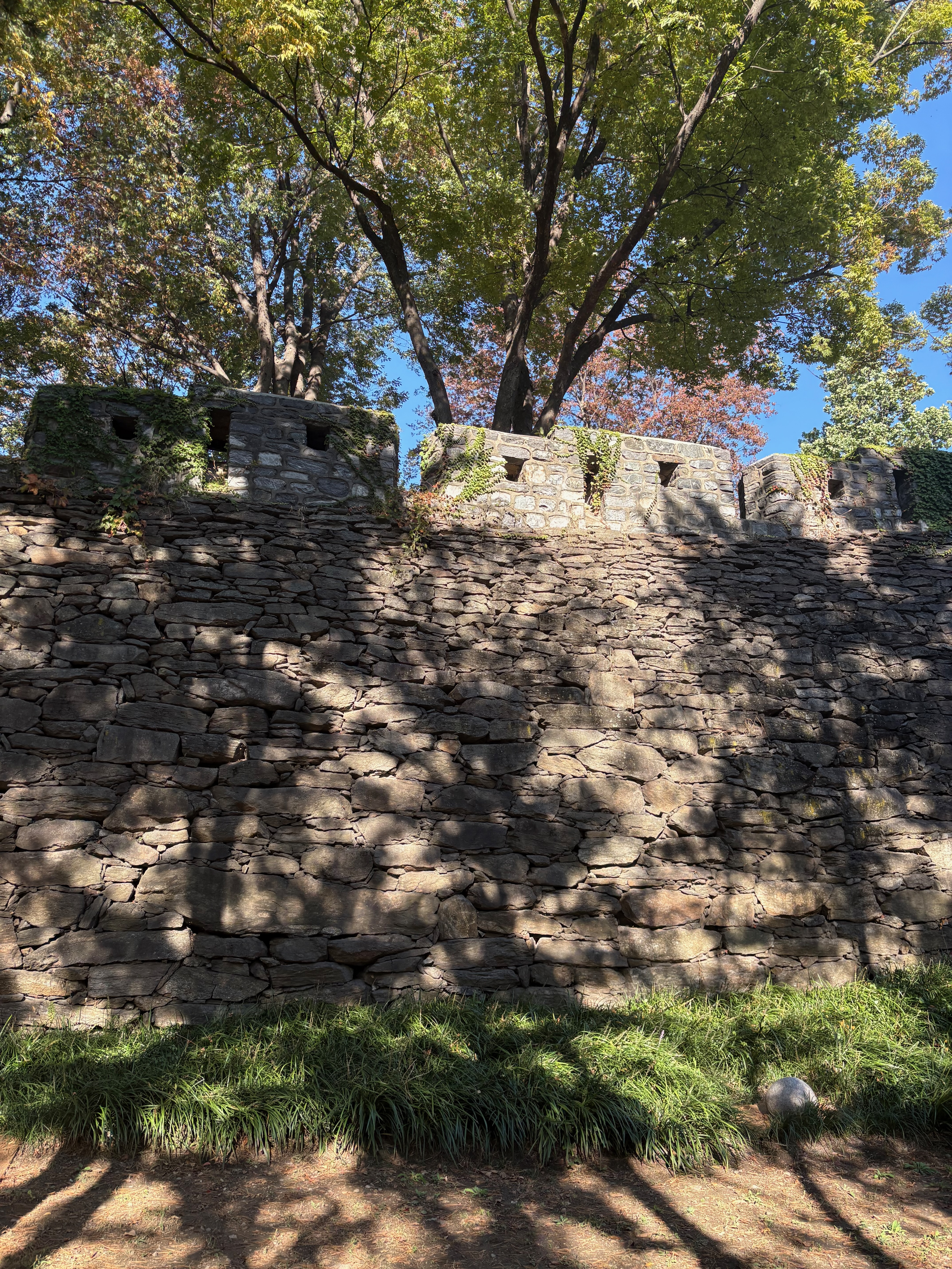
After passing the Hanyangdoseong City Wall, it doesn’t take long to reach the summit, where N Seoul Tower stands.
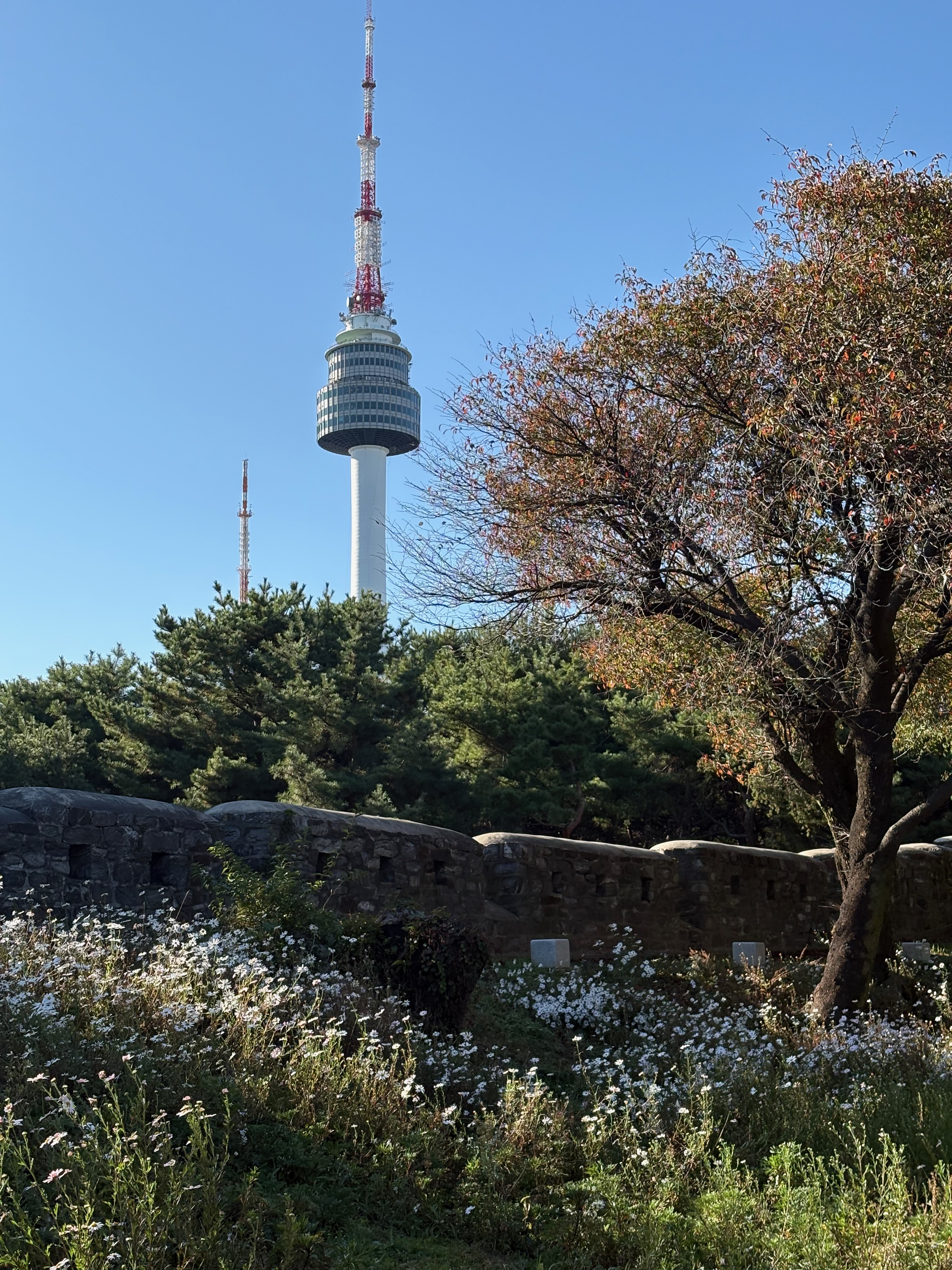
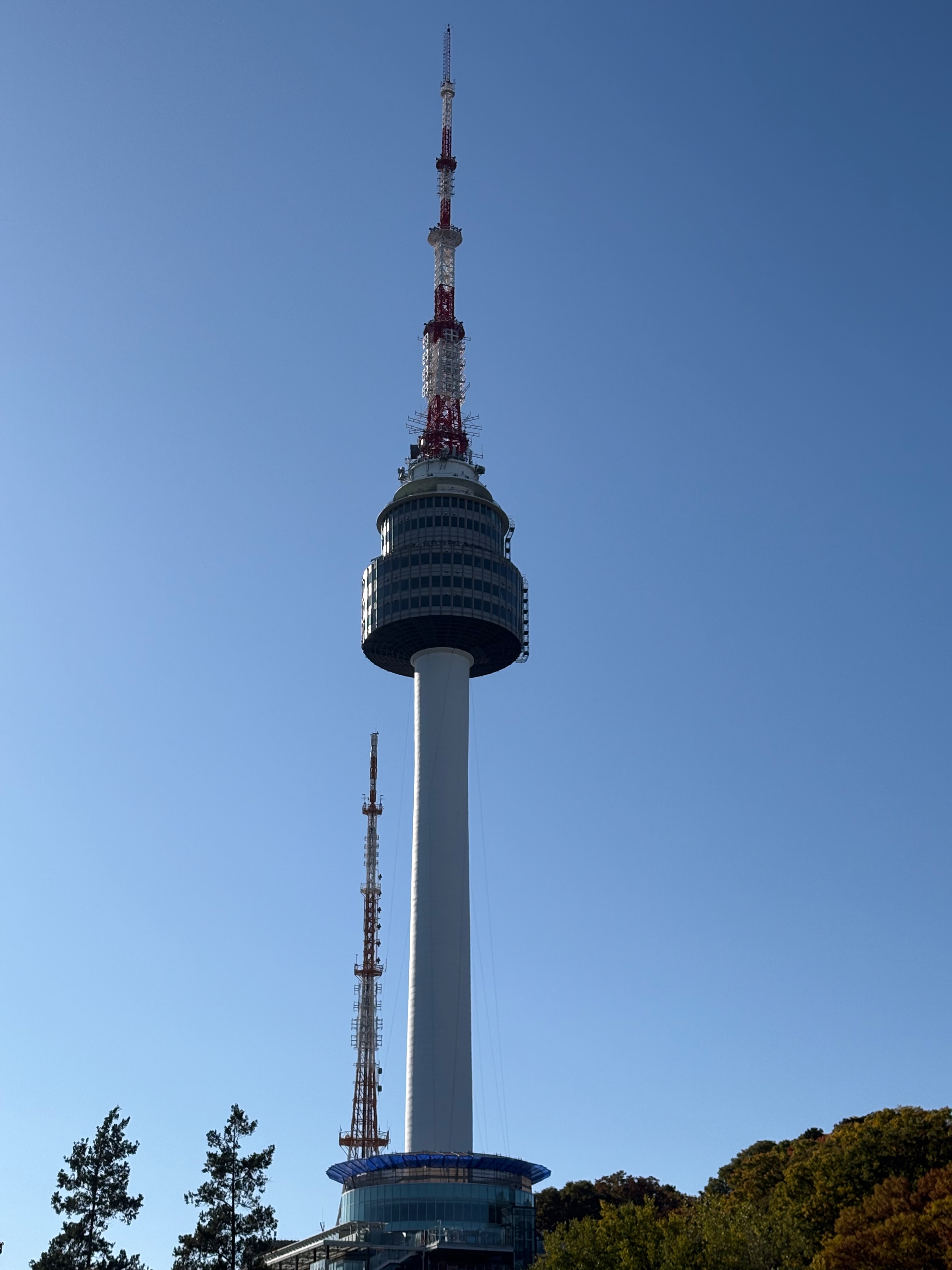
Here’s a view of N Seoul Tower from the summit.
I’ve often passed by and seen the tower from a distance, but it’s been a while since I last made it all the way to the top.
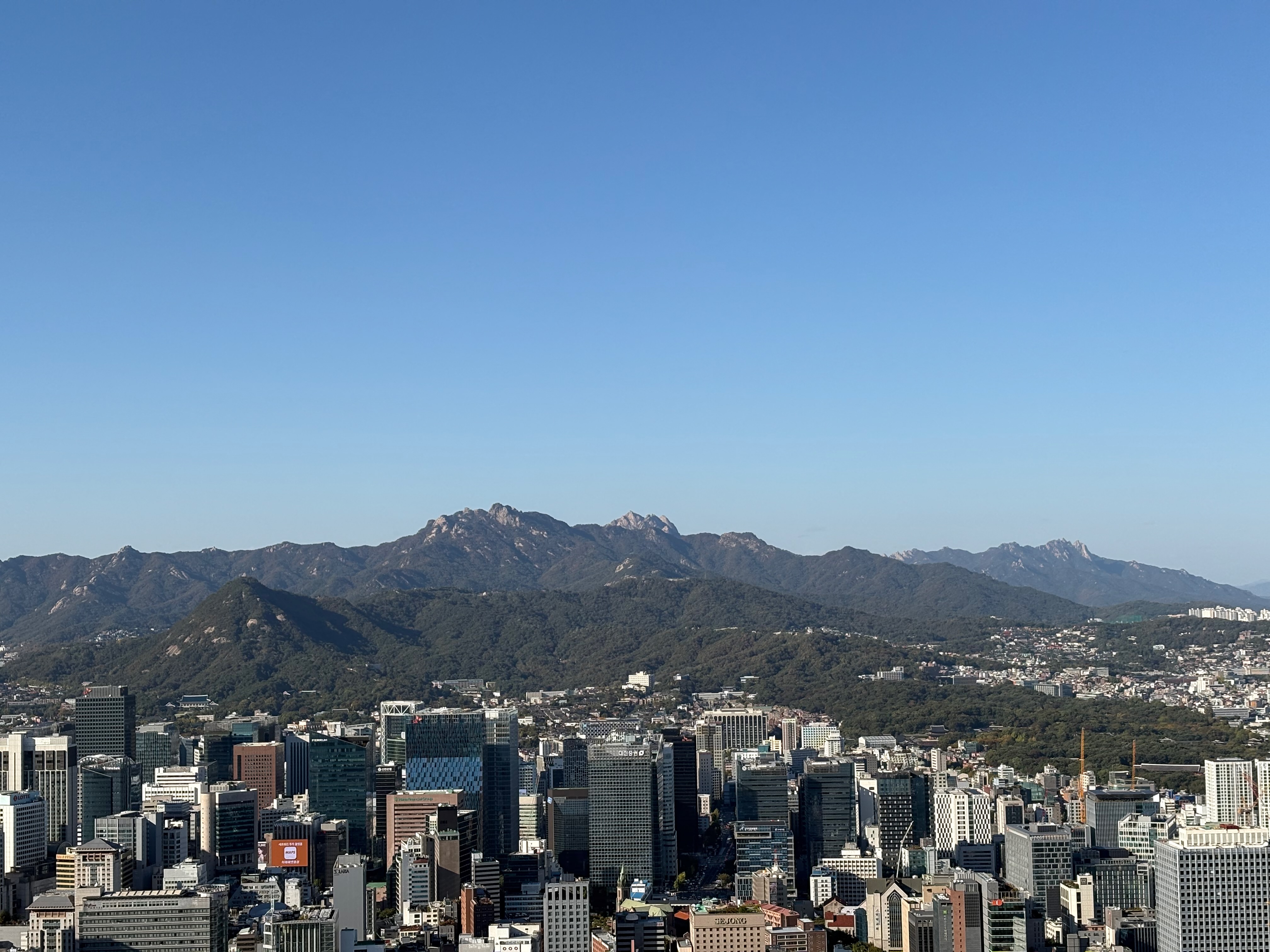
This is a view of northeastern Seoul from the observation deck.
I can see Jongmyo Shrine, Changdeokgung Palace, and Naksan Mountain.
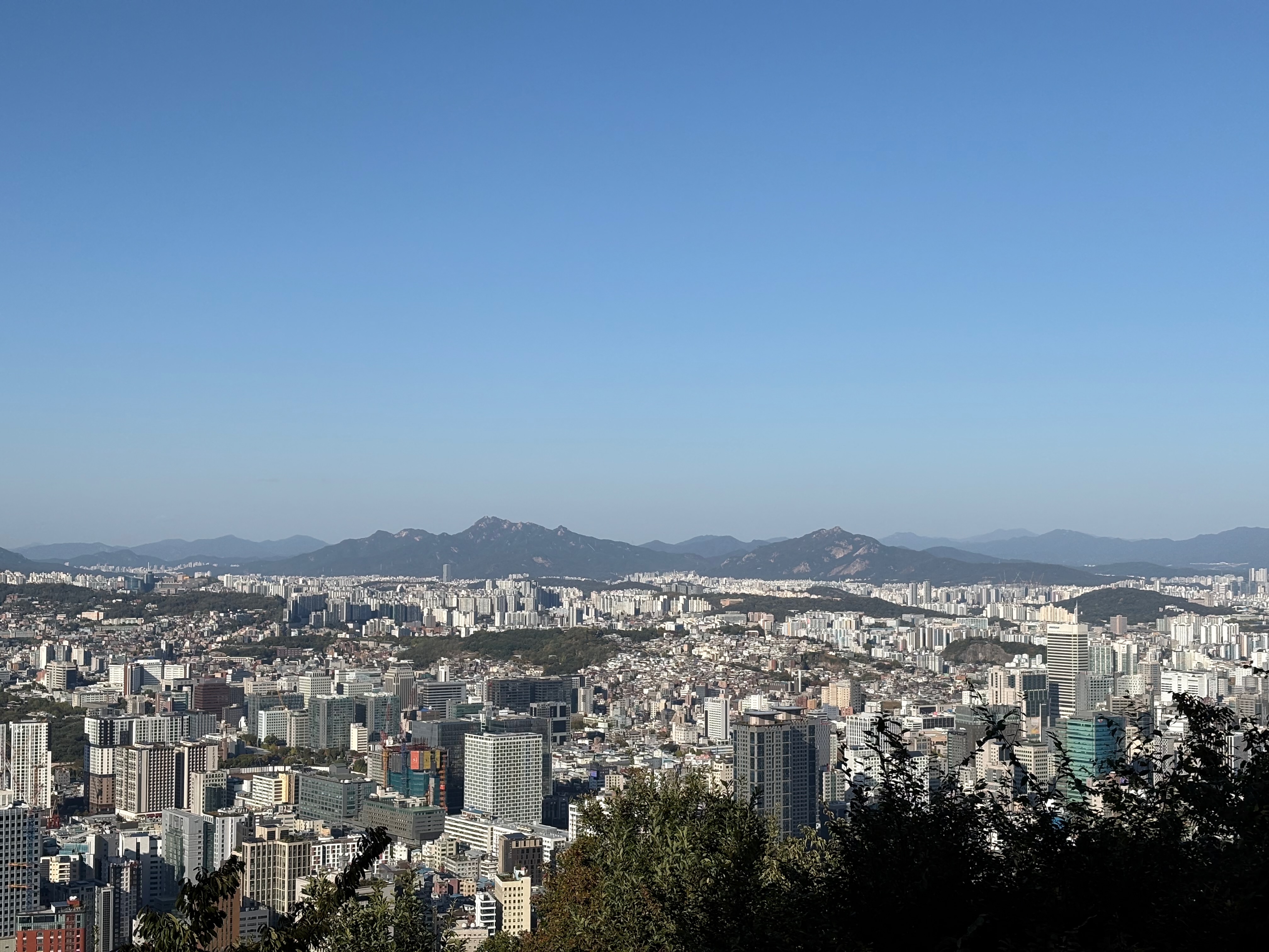
There are lots of tall buildings in the city center.
I can just make out Myeongdong Cathedral, and Cheong Wa Dae is visible below and to the left of Bugaksan Mountain.
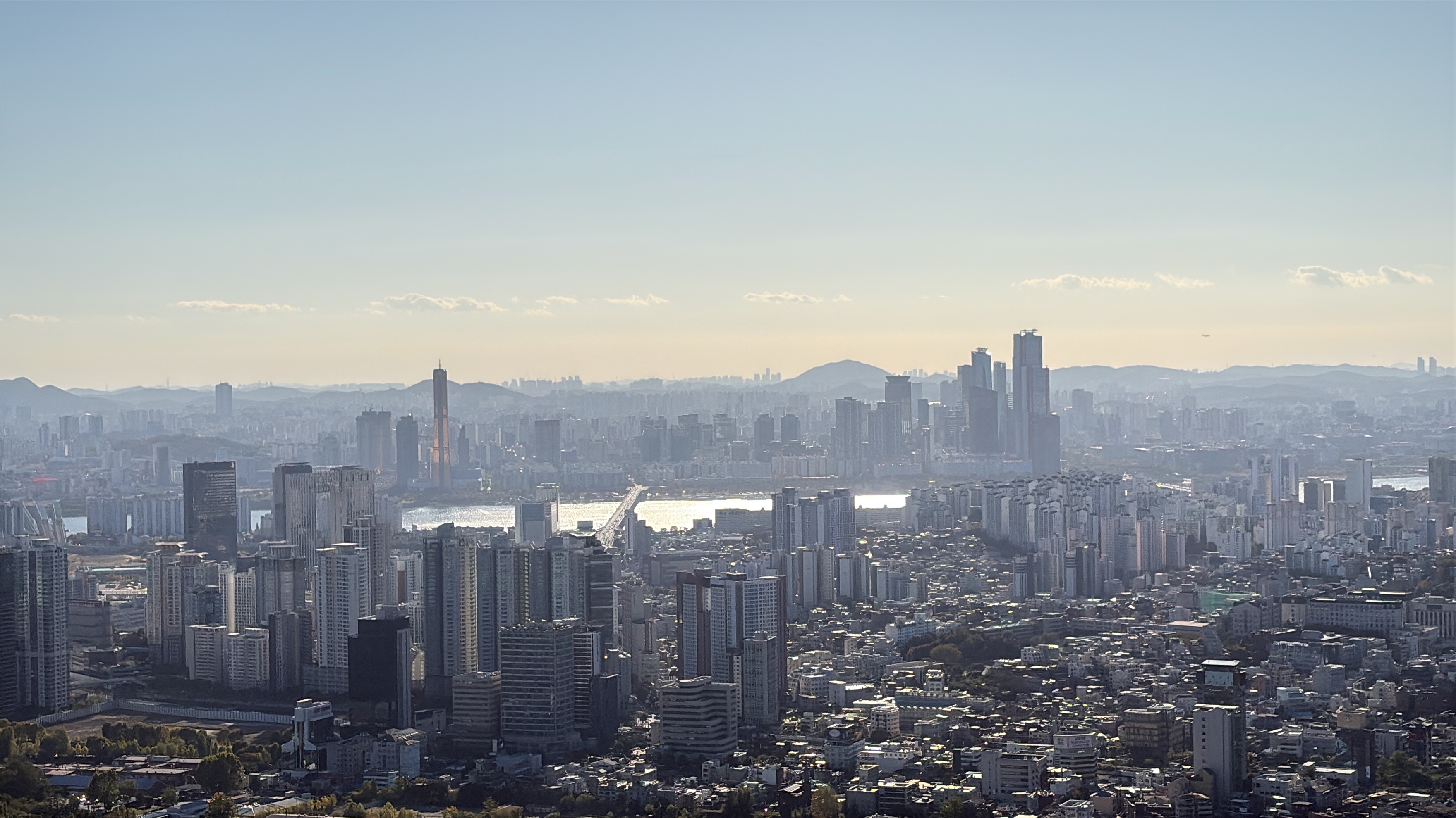
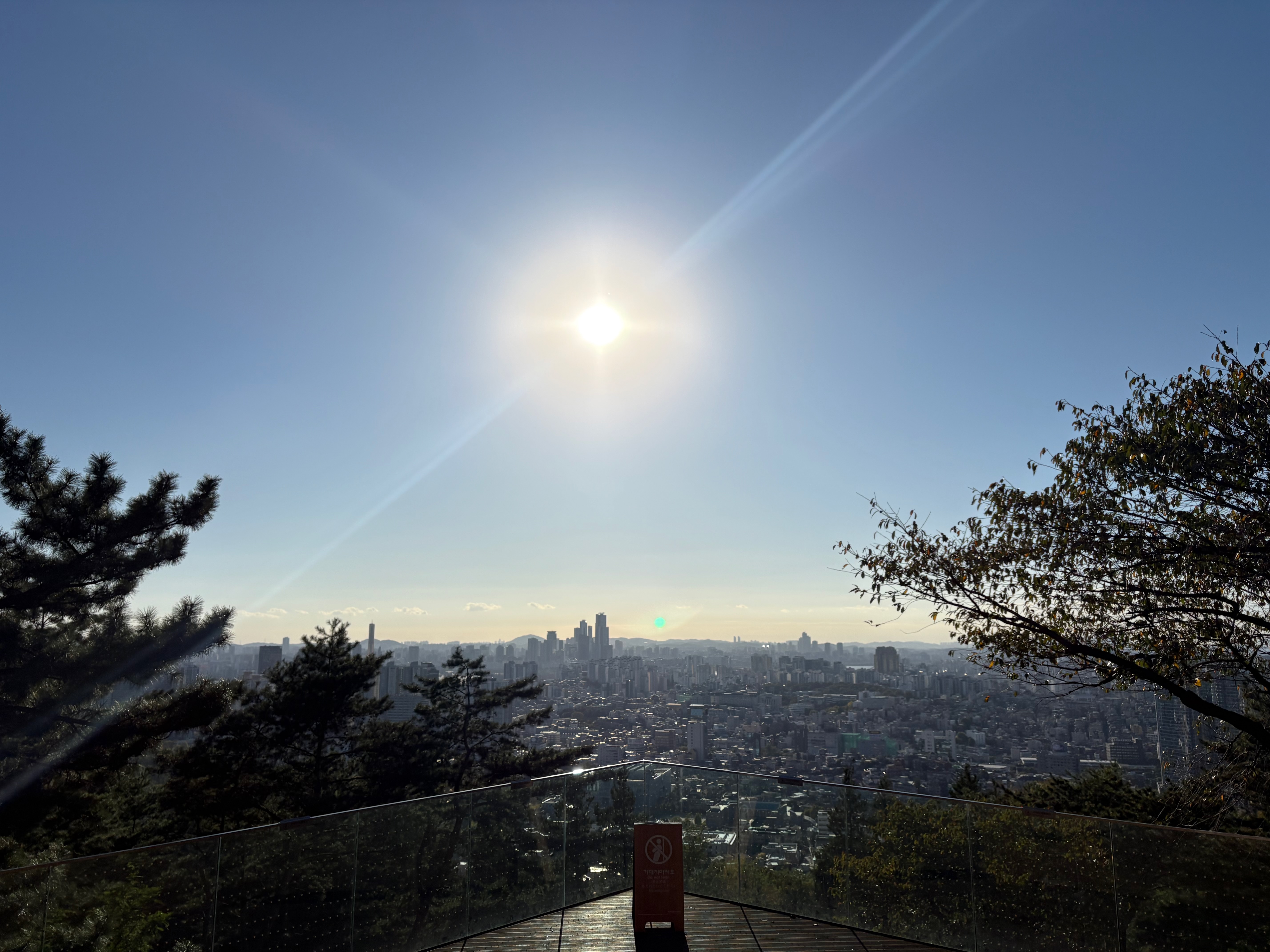
From the observation deck on the opposite side, I can see southwestern Seoul.
Yongsan is nearby, while Yeouido, with its 63 Building and IFC Seoul, lies farther in the distance.
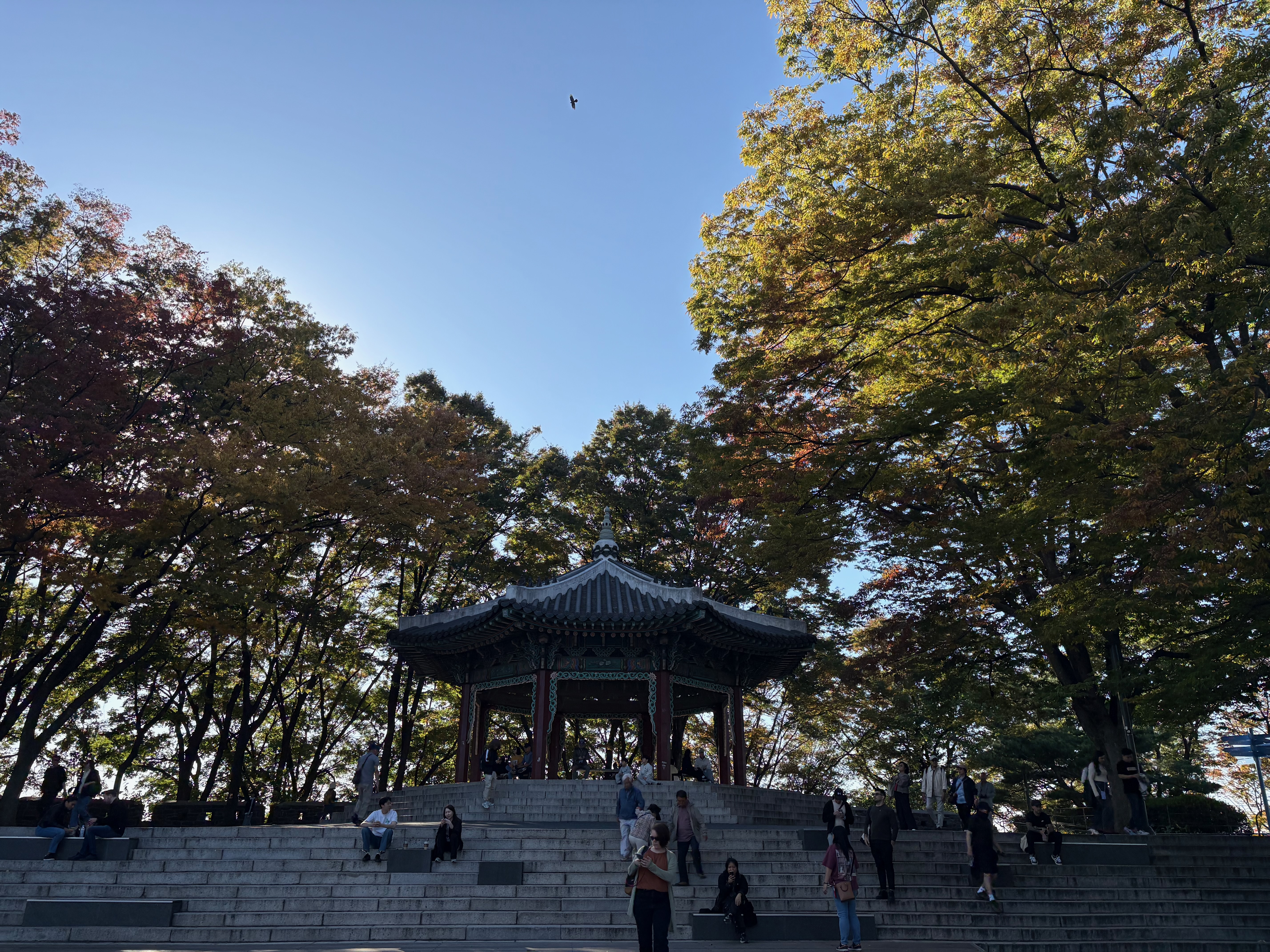
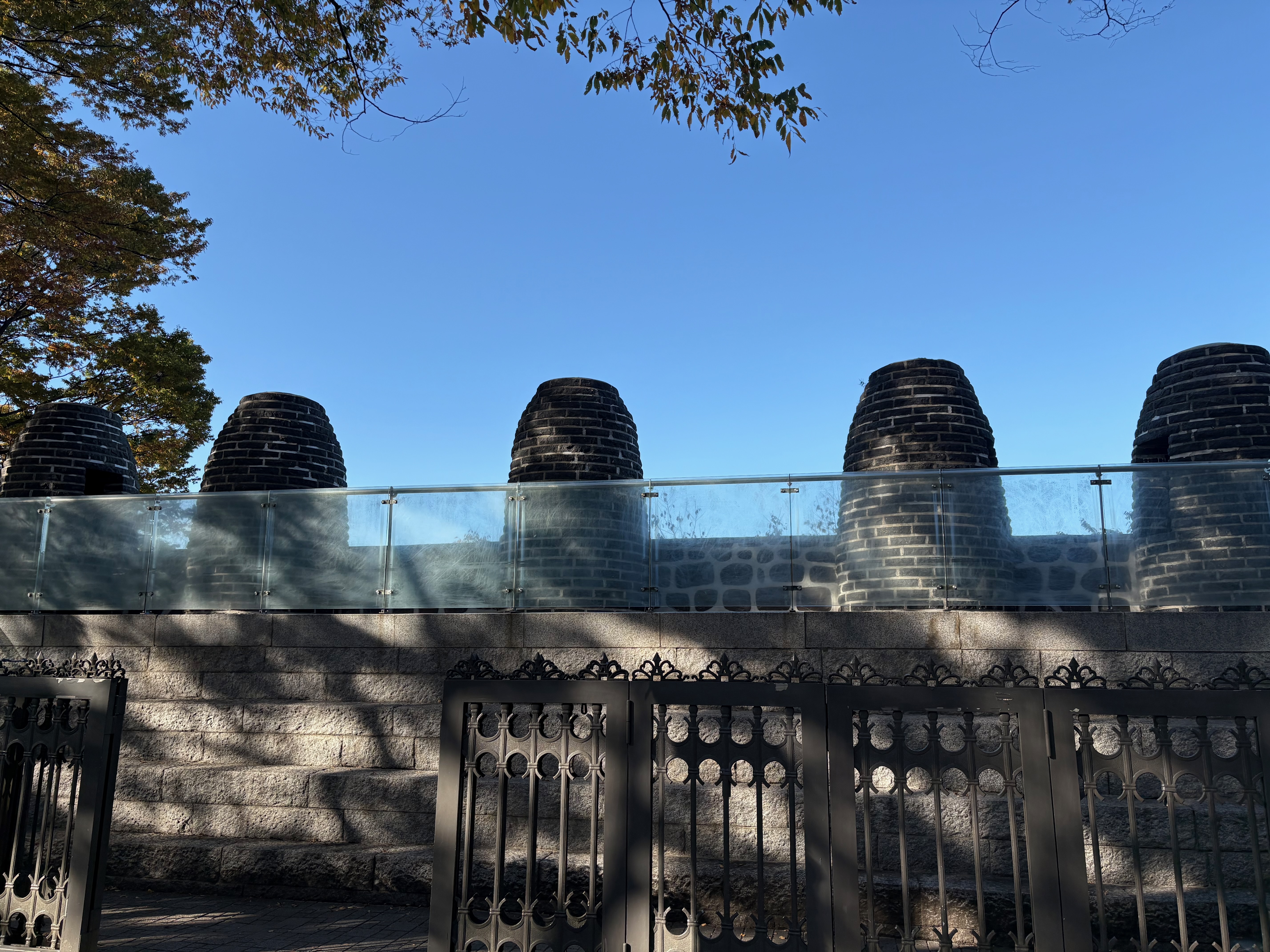
You can’t visit Namsan without seeing the octagonal pavilion and beacon mound.
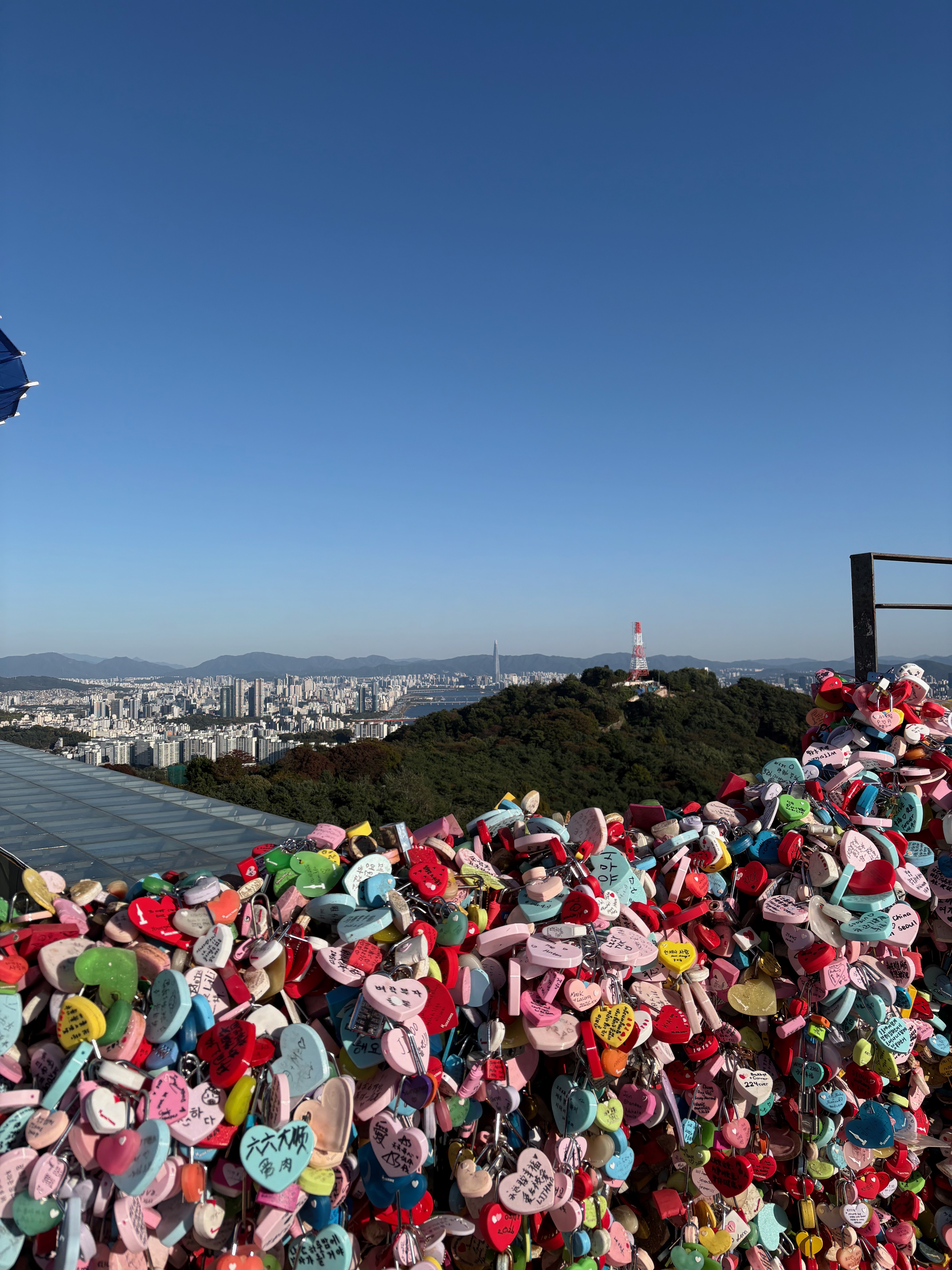
And, of course, there are the love locks.
I hope everyone breaks up.
After exploring the entire summit area, I head for the Sky Forest Trail.
You can reach it by taking the side path next to the Namsan bus stop.
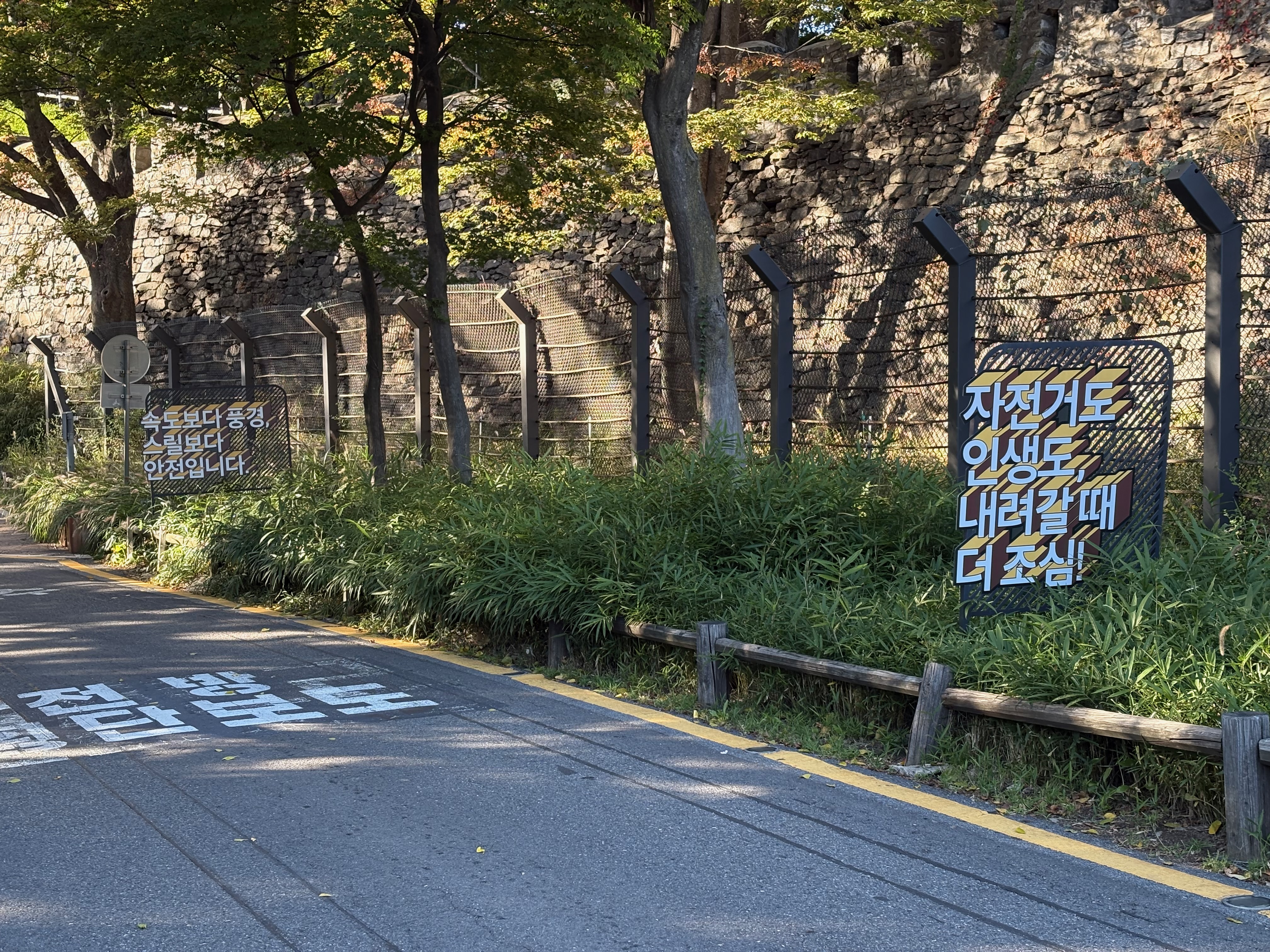
From here, it’s all downhill. I noticed some amusingly worded warning signs, apparently put up because cyclists occasionally get into accidents on the descent.
Sky Forest Trail and Hanyangdoseong Historic Site Museum
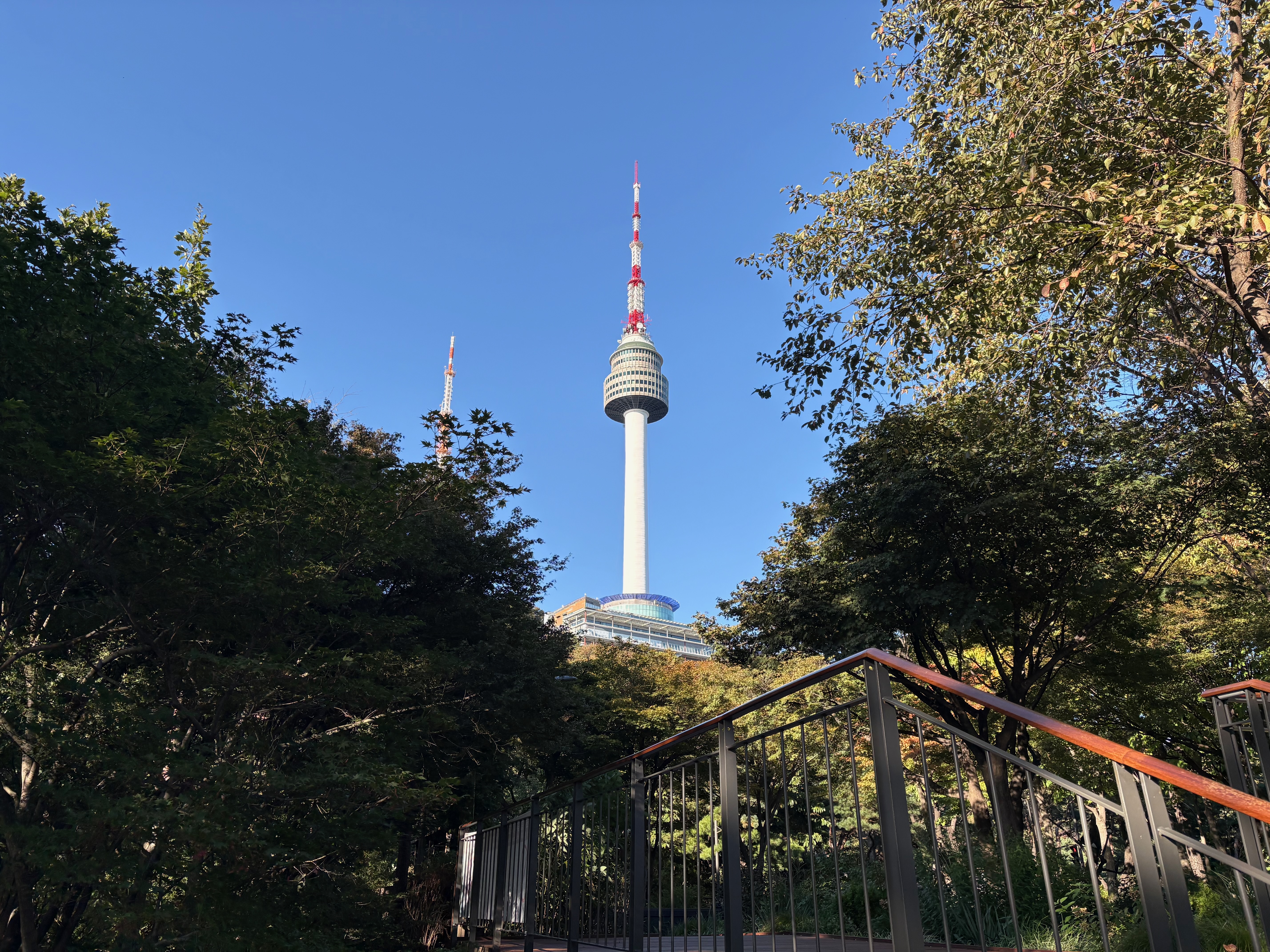
Here’s a view of N Seoul Tower from the Sky Forest Trail.
The Sky Forest Trail is a winding boardwalk, and it seems like one of the easiest routes for going up and down Namsan.
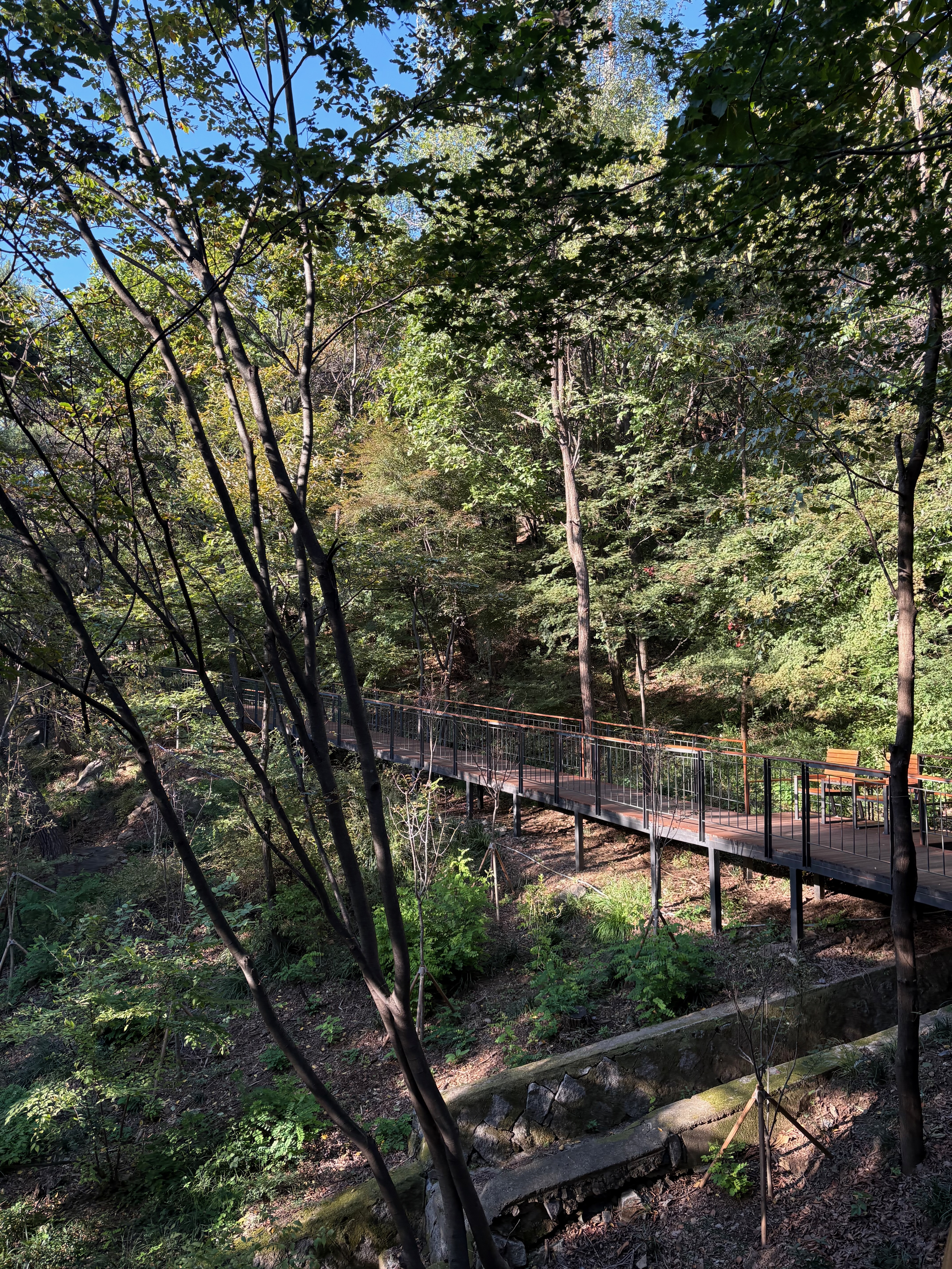
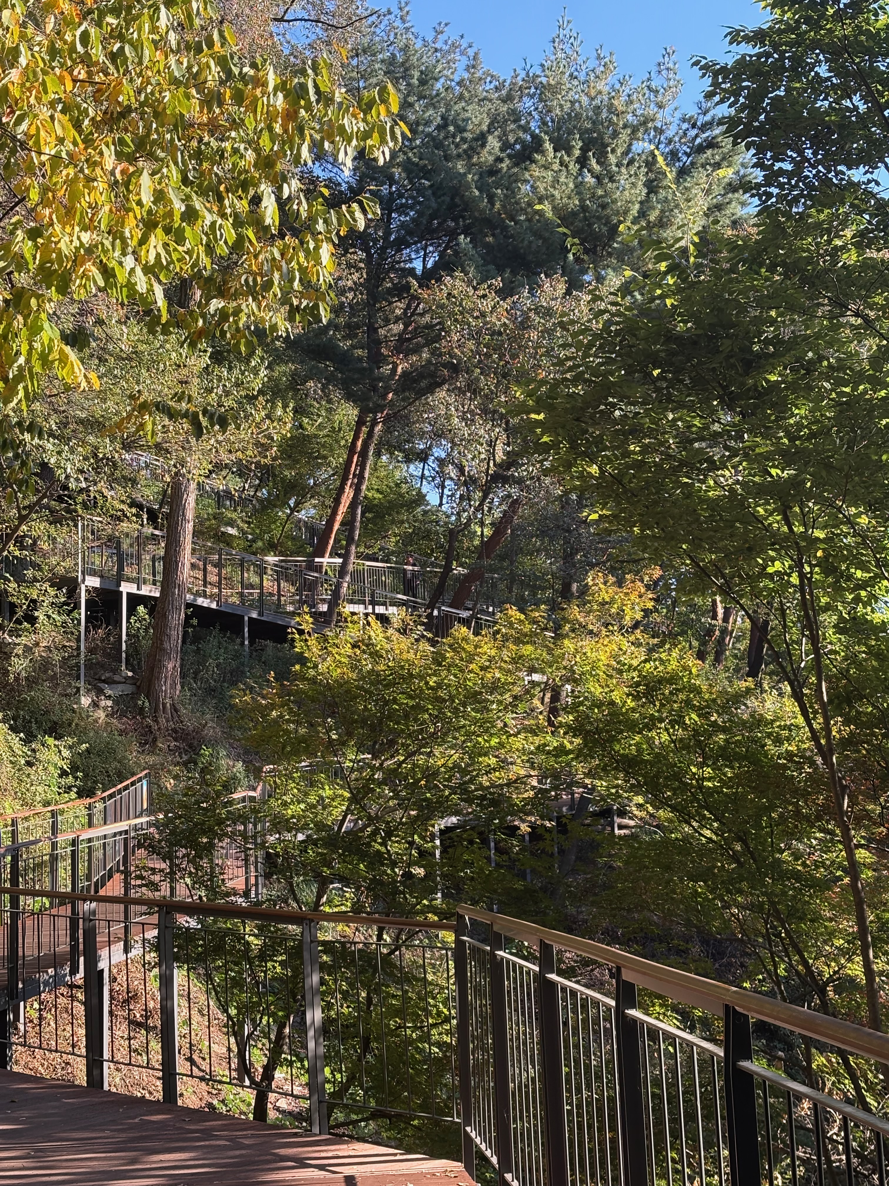
At the bottom of the Sky Forest Trail, there’s a path leading to the Hanyangdoseong Historic Site Museum.
In the End
I’ve made my way back to where I started.
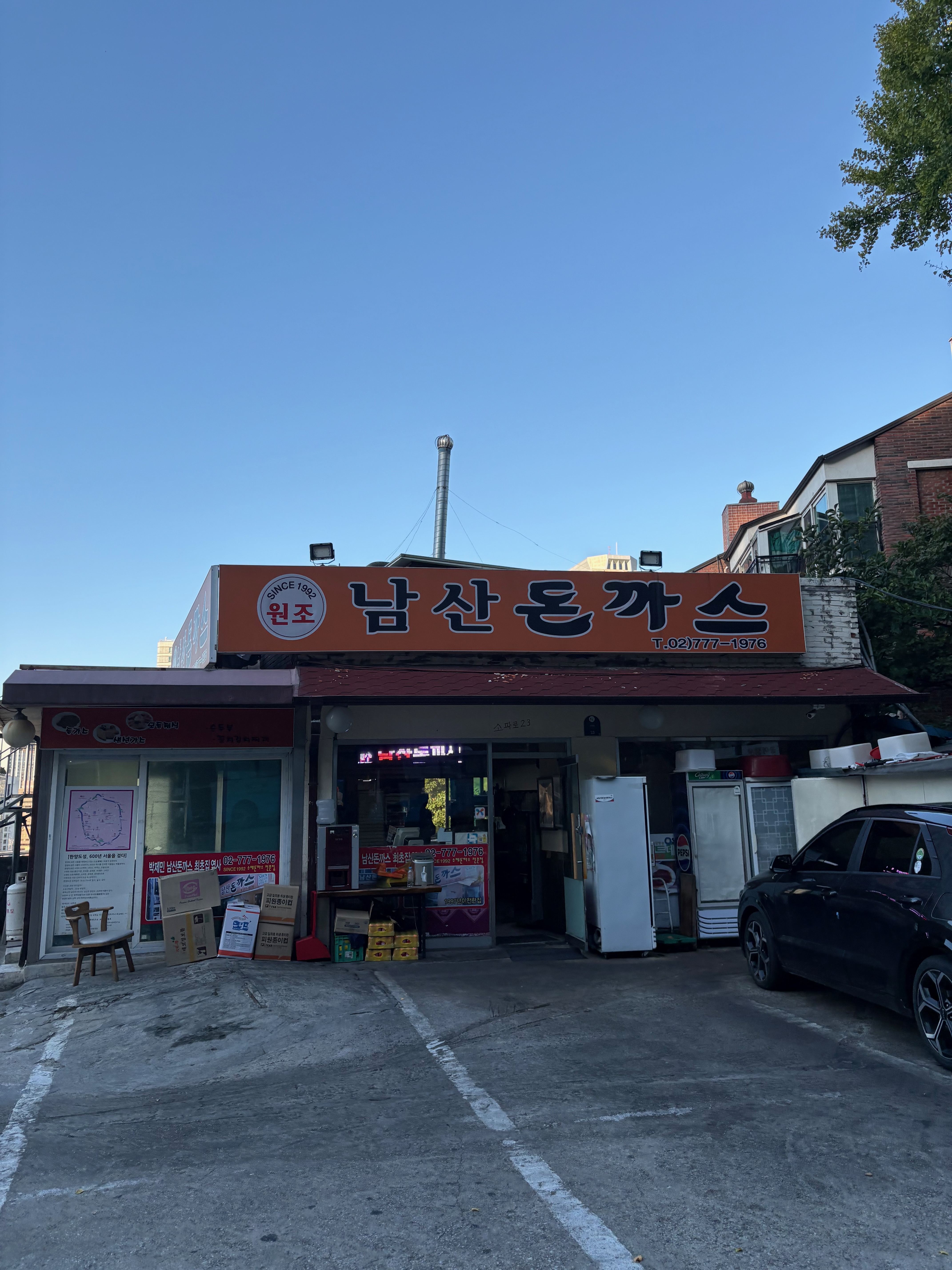
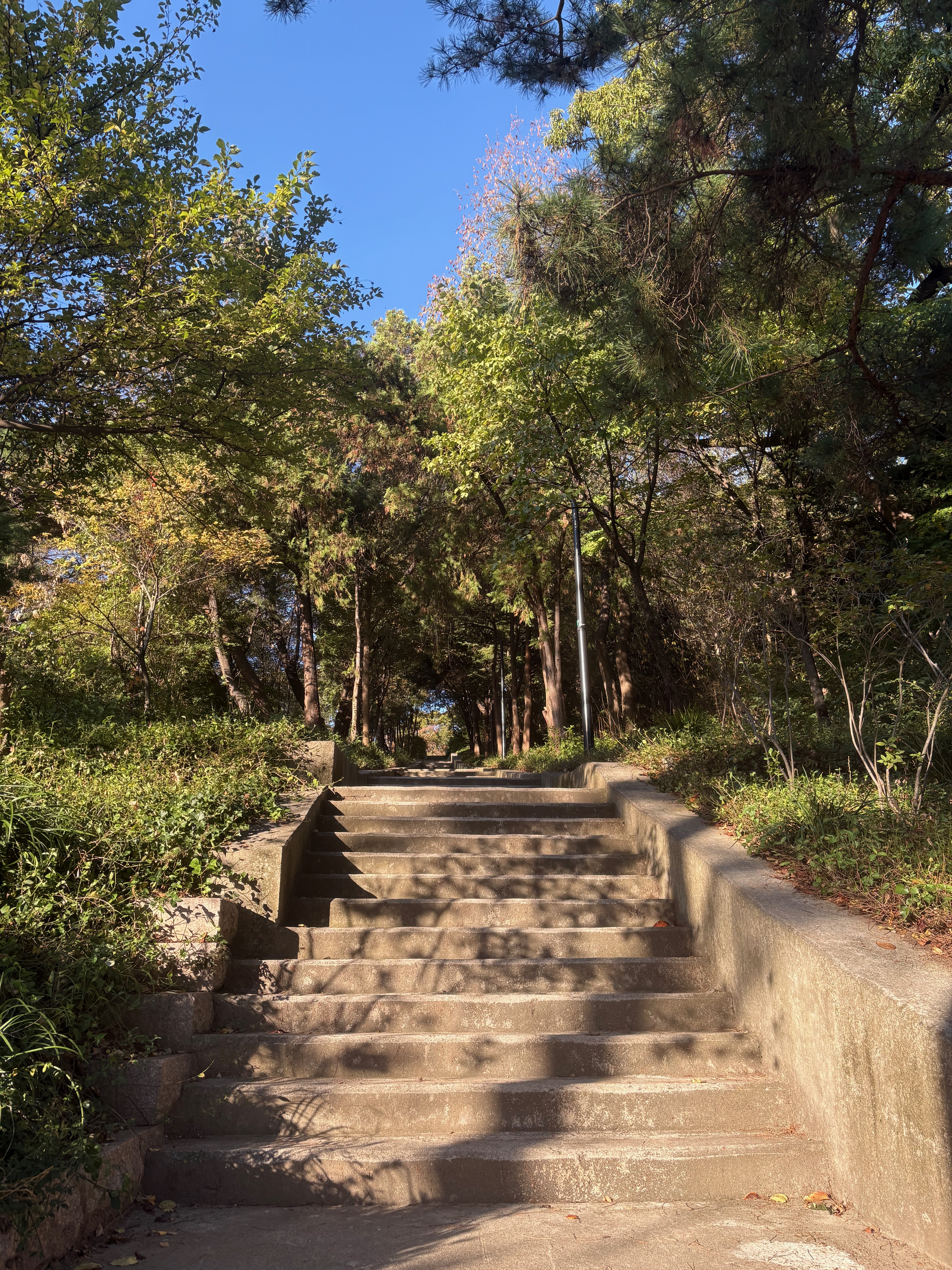
I walk down the Samsuni Stairs, stop by the original Namsan Donkatsu restaurant for a look, and then head home.